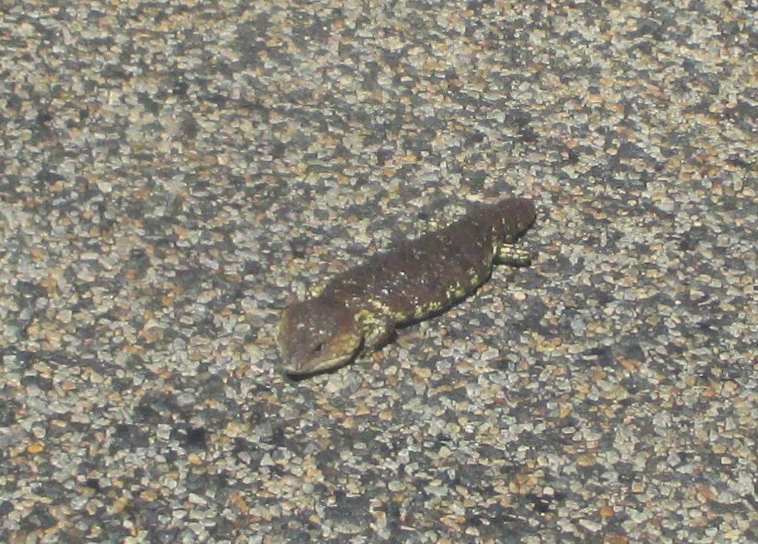
Much of outback New South Wales has been in severe drought for a number of years. We experience one of the effects – large dust storms – whilst driving around Narrabri and Gilgandra. It was quite terrifying and much worse than fog.
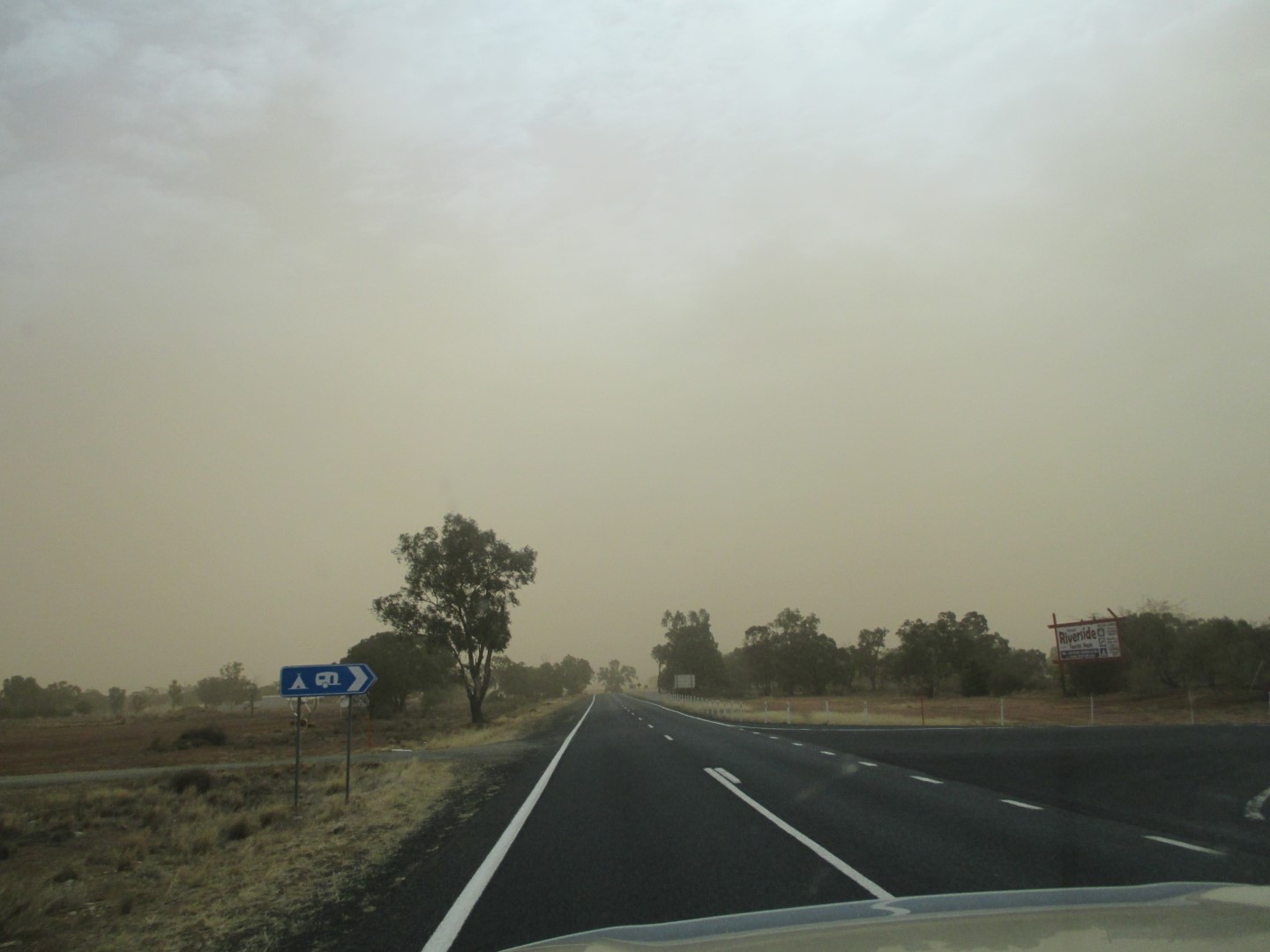


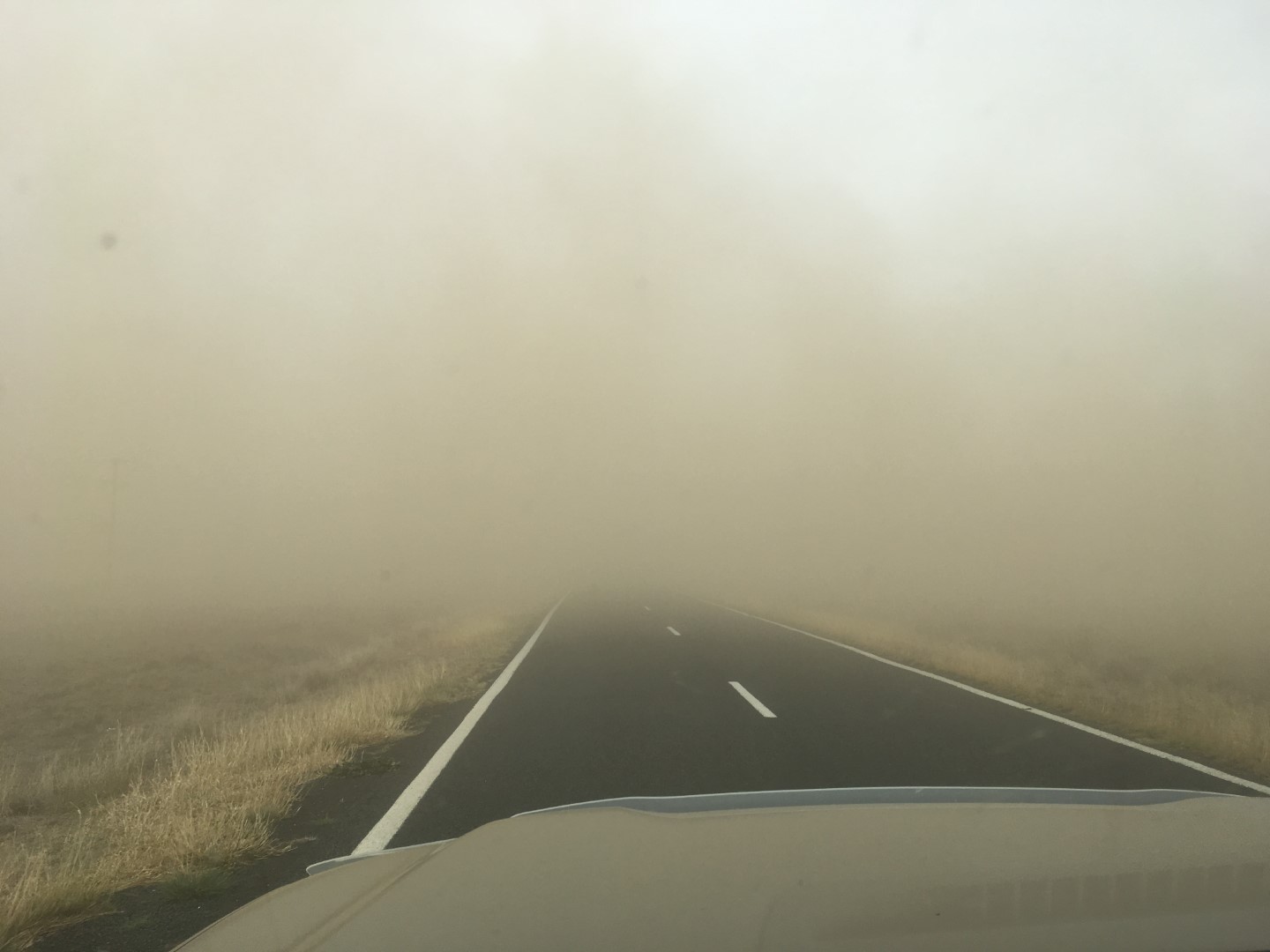

Much of outback New South Wales has been in severe drought for a number of years. We experience one of the effects – large dust storms – whilst driving around Narrabri and Gilgandra. It was quite terrifying and much worse than fog.
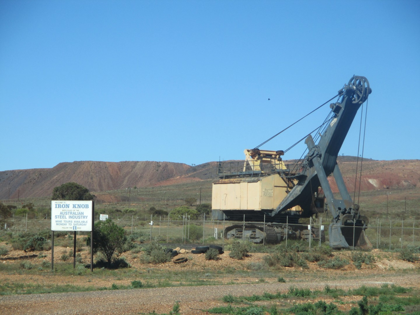
With the Nullabor behind us we point the car in a north easterly direction towards Queensland and home. On the way we pass through 2 more states, South Australia and New South Wales, and many (familiar) large towns including Ceduna, Port Augusta, Broken Hill, Wilcannia, Cobar, Narrabri, Gilbagdra, Coonabarabran, Moree and, finally to cross into Queensland at Goondiwindi.


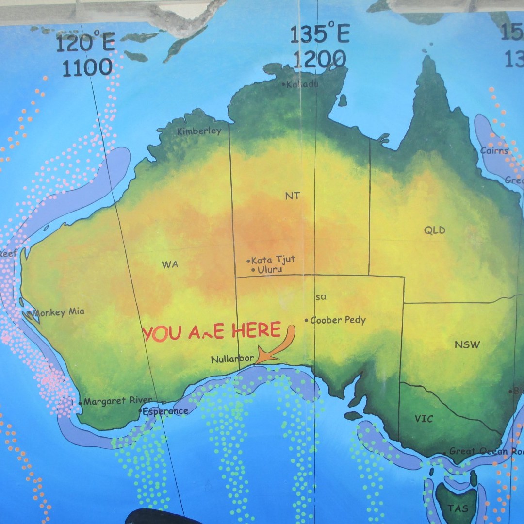
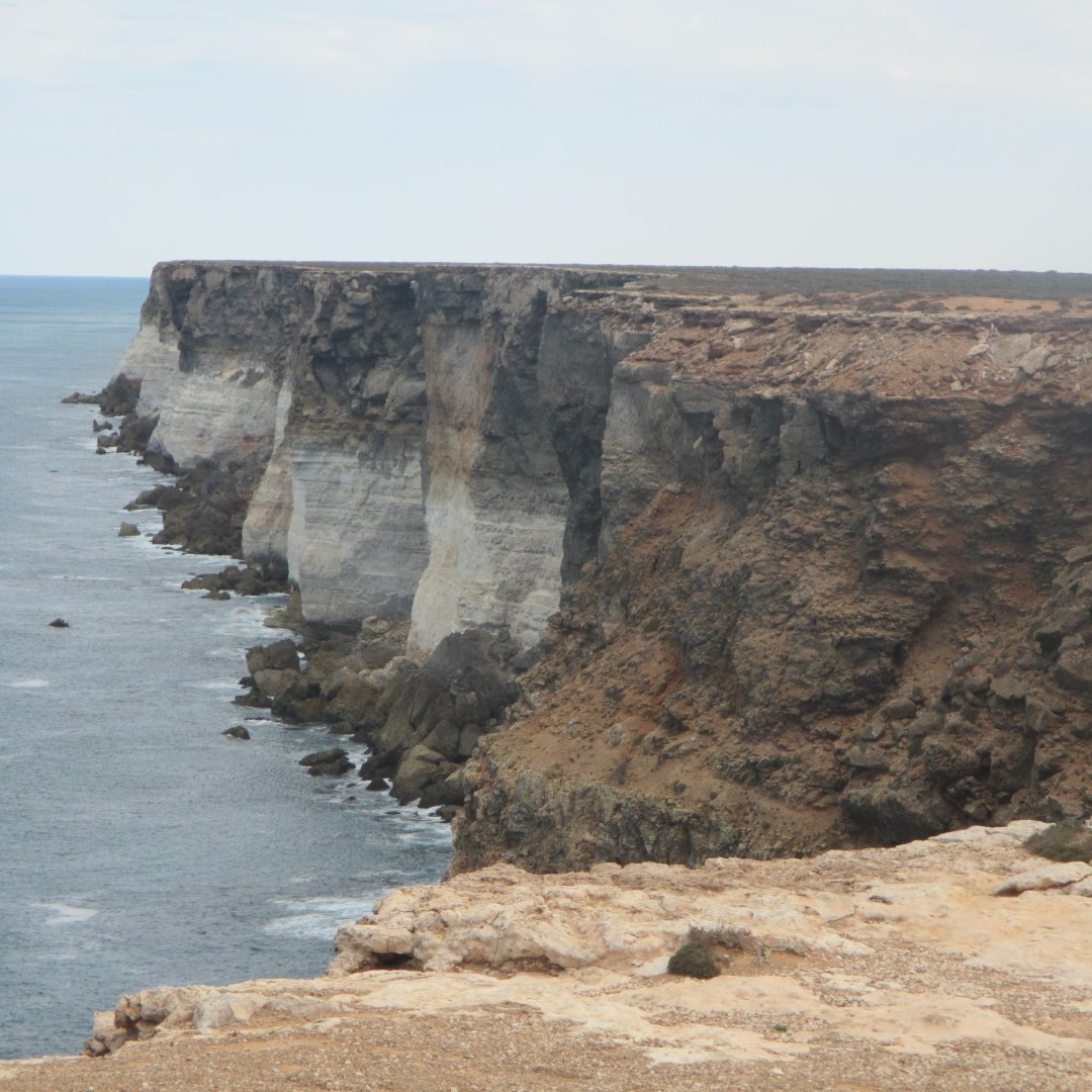
The Nullarbor Plain is part of the area of flat, almost treeless, arid or semi-arid country of southern Australia, located on the Great Australian Bight coast with the Great Victoria Desert to its north. It is the world’s largest single exposure of limestone bedrock, and occupies an area of about 200,000 square kilometres (77,000 sq mi). At its widest point, it stretches about 1,100 Kms (684 mi) from east to west across the border between South Australia and Western Australia.
The railway line that crosses the Plain has the longest straight section of railway in the world (478 km, 297 mi), while the road contains the longest straight section of tarred road in Australia (146.6 km, 91.1 mi).
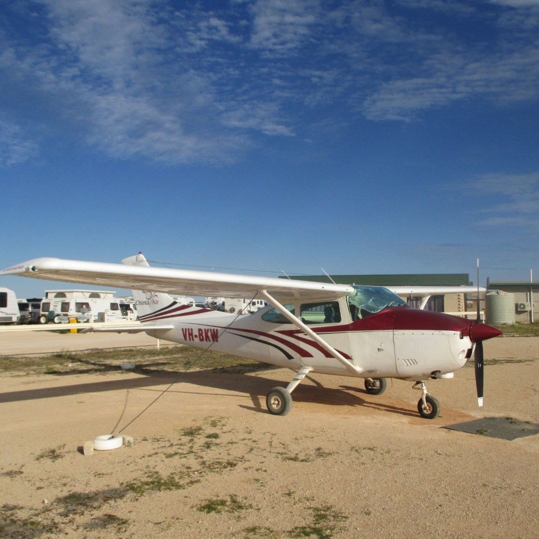
The distance across the Plain from Norseman in Western Australia to Ceduna in South Australia is 1,200 Kms and we take 4 days to make it across. We pass several sections of the road which have a dual purpose by acting as emergency airstrips for the Royal Flying Doctor Service.
Our in-car GPS didn’t speak to us for 3 days. Then we realised that she had told us to turn right after 729 Kms yesterday !!


Our trip plans have changed. The weather is not so good to keep going south so we are going to cut the trip short and head towards home.
First stop is Kalgoorlie. Now known as Kalgoorlie–Boulder after the towns of Kalgoorlie and Boulder joined, it is a city in the Goldfields-Esperance region of Western Australia. It is located 595 Kms (370 mi) east-northeast of Perth at the end of the Great Eastern Highway. The town was founded in 1893 during the Yilgarn-Goldfields gold rush, and is located close to the so-called “Golden Mile”.
In January 1893, prospectors Patrick (Paddy) Hannan, Tom Flanagan, and Dan O’Shea (yes, they were all Irish) were travelling to Mount Youle when one of their horses cast a shoe. During the halt in their journey, the men noticed signs of gold in the area, and decided to stay and investigate. On 17 June 1893, Hannan filed a Reward Claim, leading to hundreds of men swarming to the area in search of gold and Kalgoorlie, originally called Hannan’s, was born.
The mining of gold, along with other metals such as nickel, has been a major industry in Kalgoorlie ever since, and today employs about one-quarter of Kalgoorlie’s workforce and generates a significant proportion of its income. The concentrated area of large gold mines surrounding the original Hannan find is often referred to as the Golden Mile, and is considered by some to be the richest square mile of earth on the planet.
Kalgoorlie’s main mine, known as The Super Pit is an enormous open-cut gold mine approximately 3.6 Kms (2.2 mi) long, 1.6 Kms (1.0 mi) wide and 512 metres (1,680 ft) deep. Occasionally the excavation has revealed an old shaft containing abandoned equipment and vehicles from the earlier mines. The mine operates 24 hours a day, 7 days a week, and a visitor centre overlooks it. The mine blasts at 1:00 pm every day, unless winds would carry dust over the town. Each of the massive trucks carries 225 tonnes of rock and the round trip takes about 35 minutes, most of that time being the slow uphill haul. Employees must live in Kalgoorlie; it is not a fly-in fly-out operation. The mine is expected to be productive until about 2029.
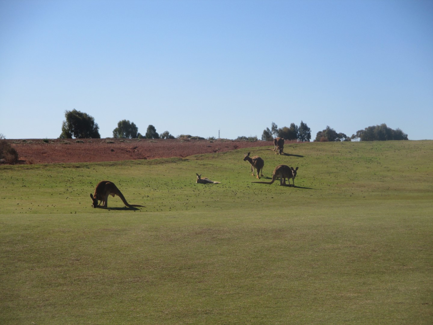
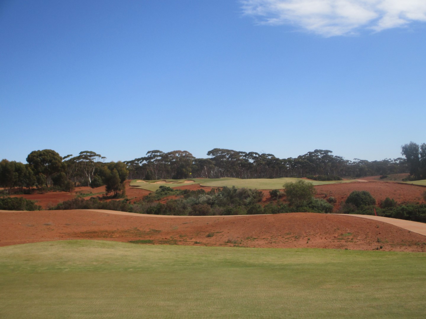
We play golf at the spectacular Kalgoorlie Golf Club, an amazing contrast of green fairways with iron ore coloured sandy rough.


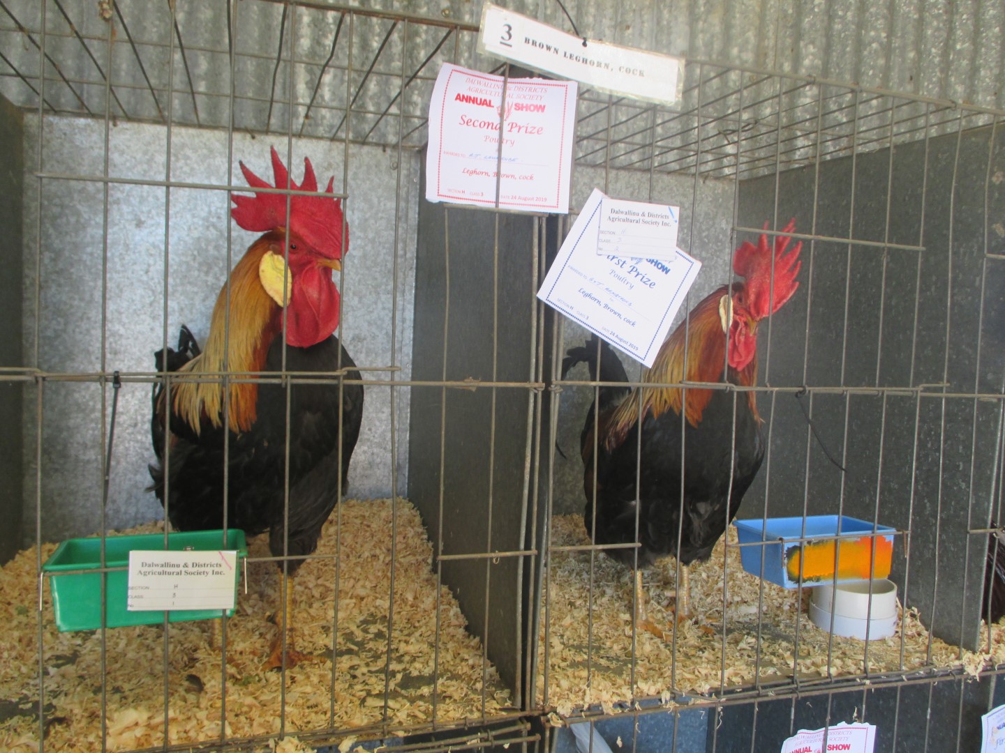
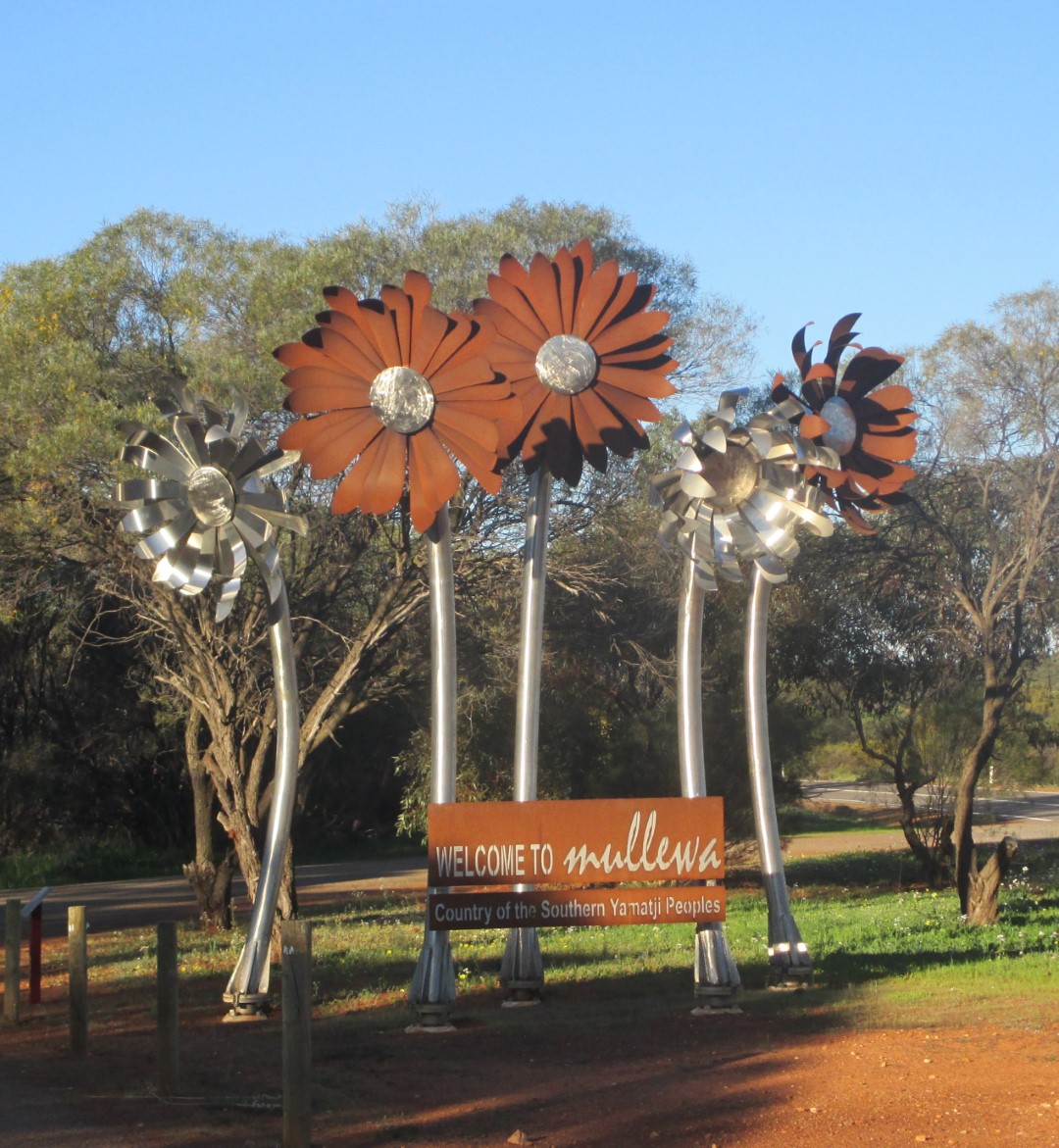
Dalwallinu is in the wheat belt of Western Australia. The name of the town comes from the Aboriginal word that means “place to wait a while”. So we did. And we happened on the local annual show – good fun


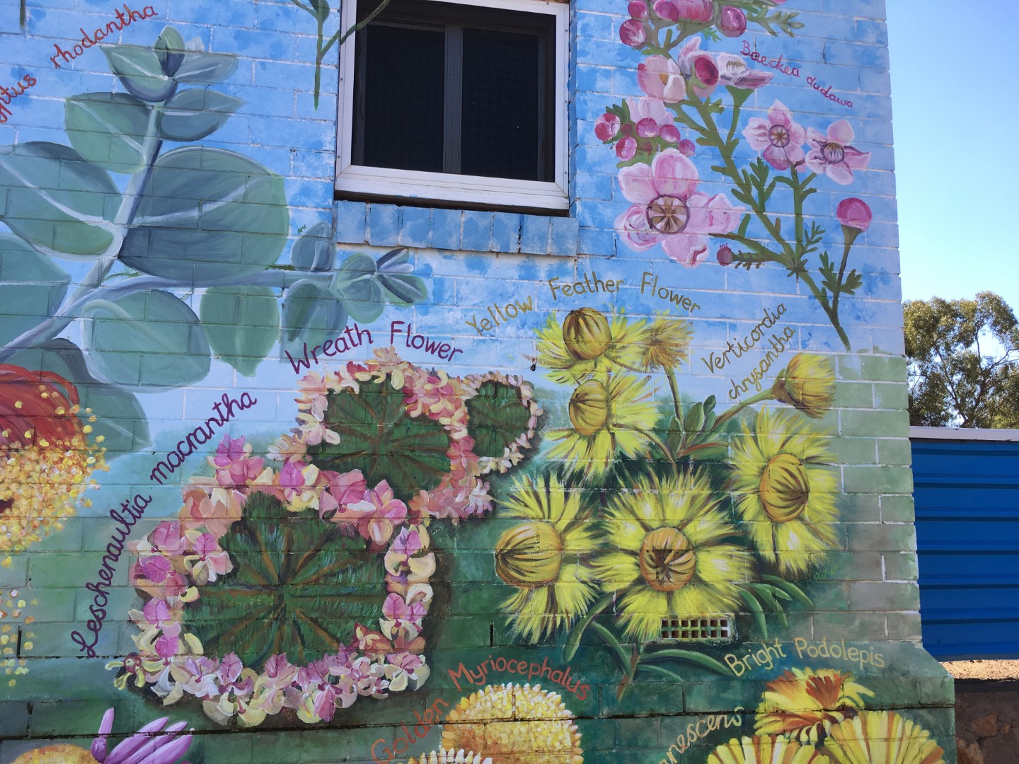
Perenjori is yet another of our stops on the Wildflower Way. It has some very unique artwork painted on its buildings – they show the wildflowers that can be seen locally.

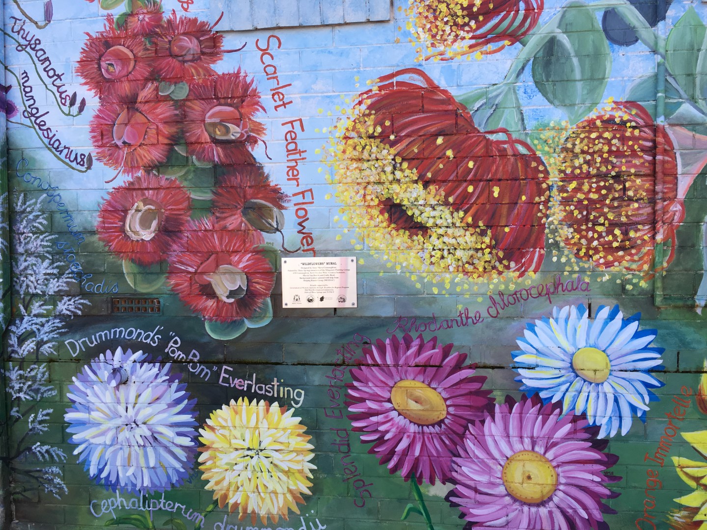

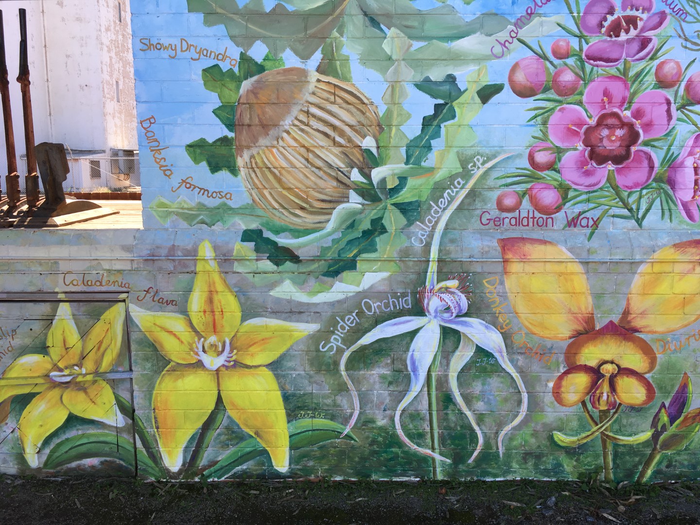
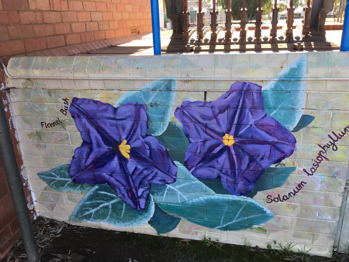
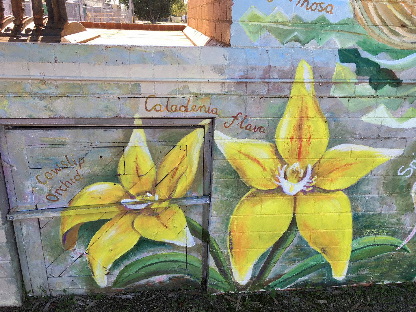
Mingenew, just 380 Kms north west of Perth, is one of the best places to base yourself to take advantage of the wildflowers. It has many spectacular displays of wildflowers between late July to early October. Varieties include everlastings, hakeas, banksias and grevilleas. Mingenew is in the heart of the Western Australia’s “Wildflower Country”.
Located 33 km north east of Mingenew, the Coalseam Conservation Park is a renowned site for its carpets of native pink and white everlastings and yellow pom pom wildflowers. The area was named the Coalseam after the Gregory brothers discovered coal exposed within the sedimentary layers of the banks of the Irwin River in 1846. This marked the first discovery of coal in Western Australia.


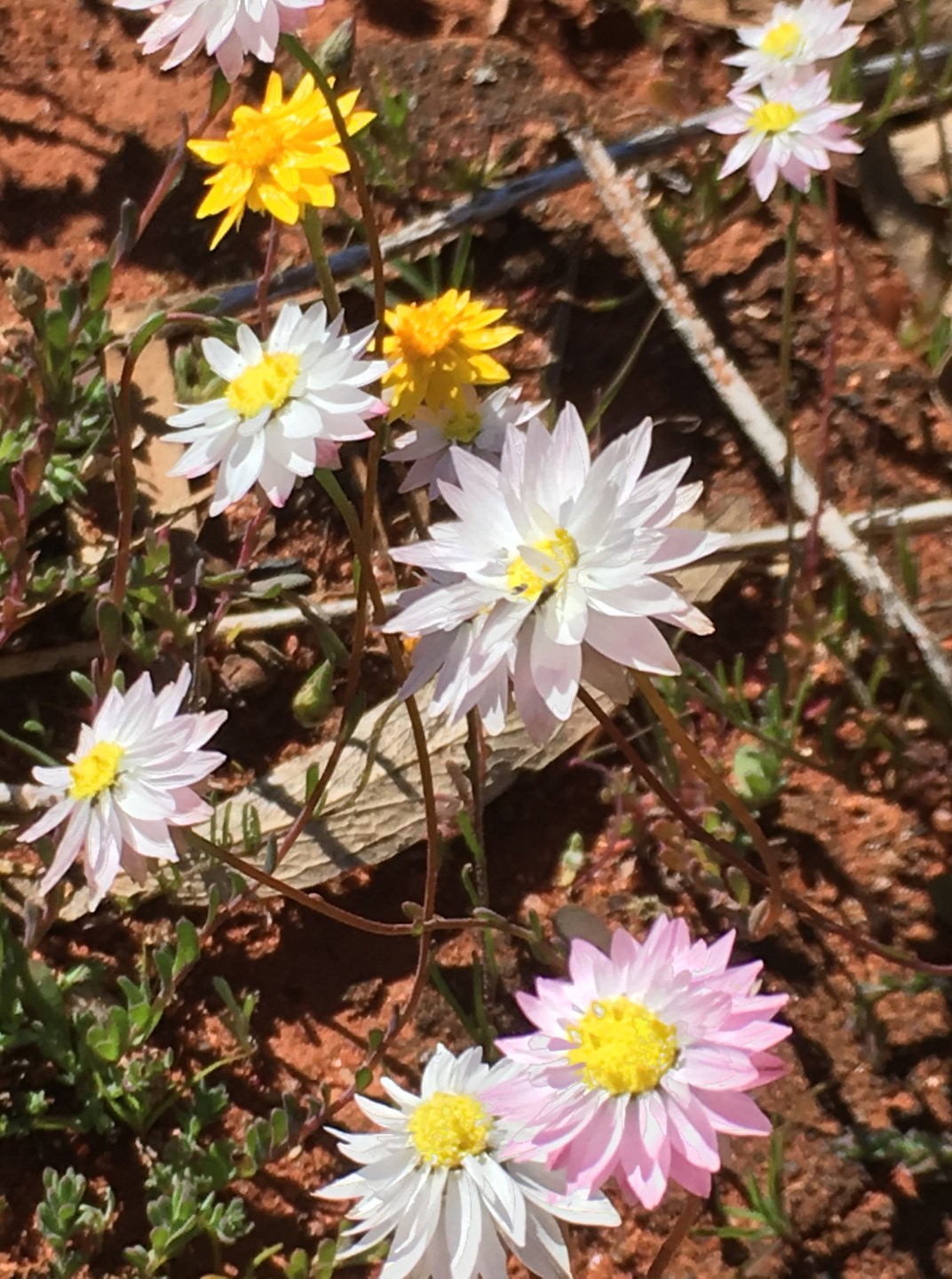


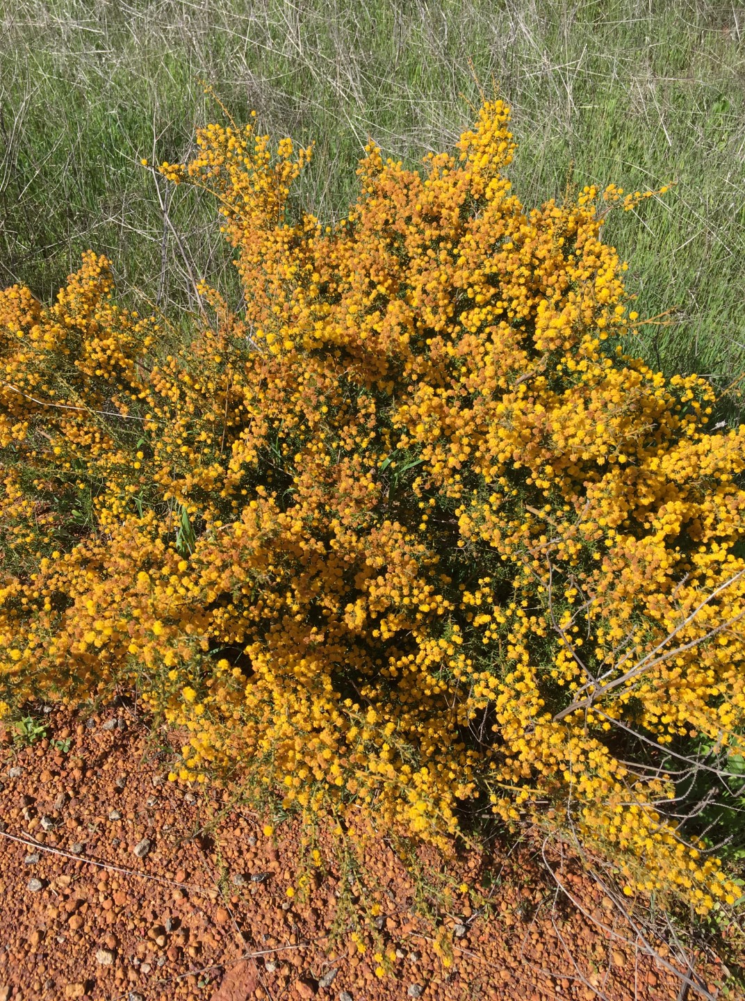

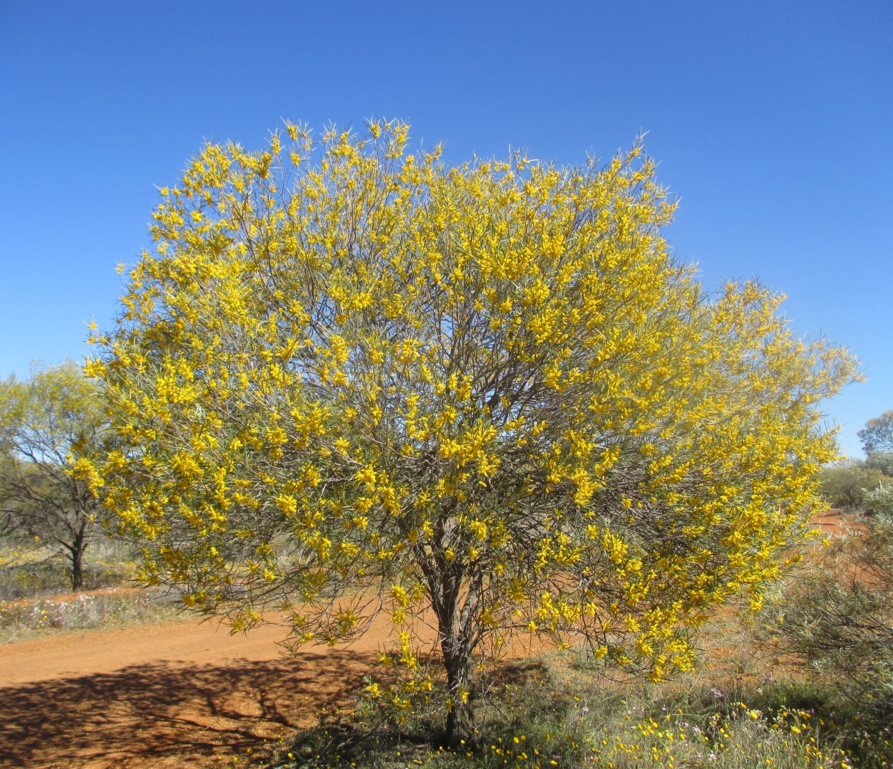
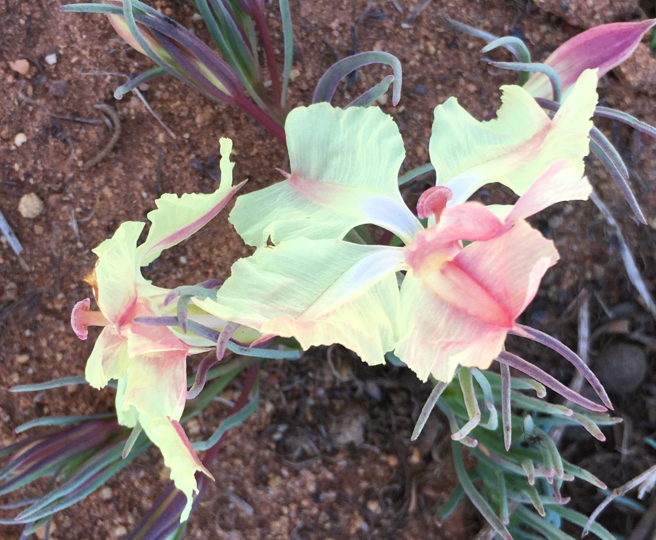
The wildflower collection in Western Australia is the largest on Earth. With more than 12,000 species, over 60% of which are found nowhere else on Earth, they colour the landscapes from coast to forest and city to outback. The six-month flowering season begins in the north in June and July on the vast outback plains of the Pilbara, Goldfields and Coral Coast.
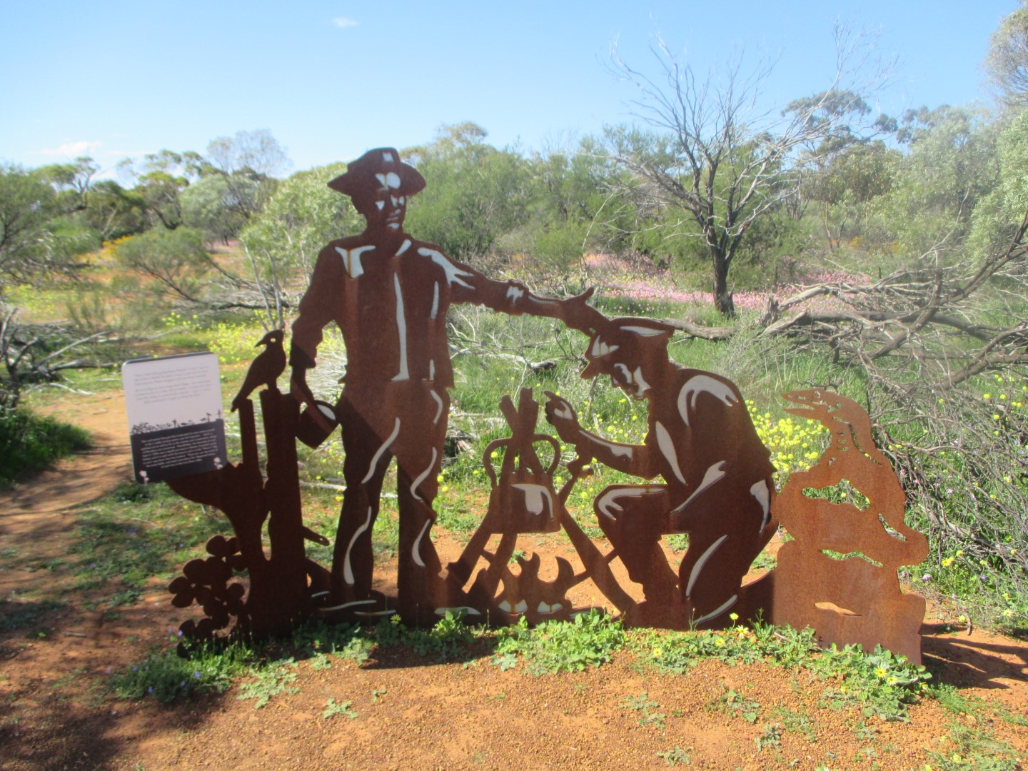
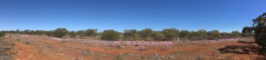
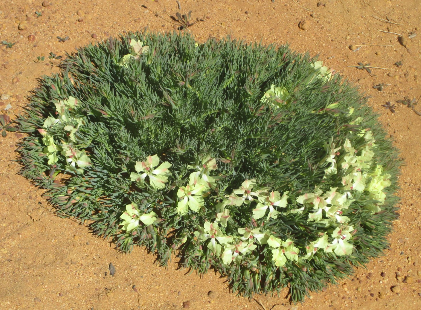
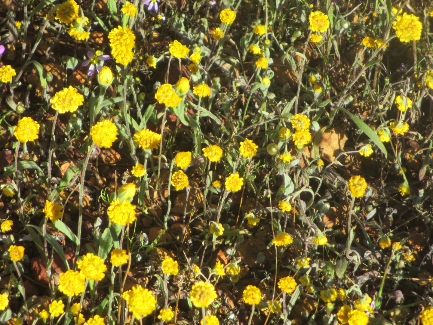
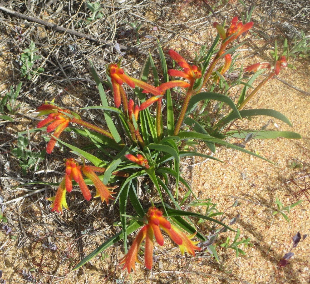
The photographs speak for themselves.


Sorry for this lengthy post but we found this Memorial absolutely fascinating and wanted to share the details of the memorial to the HMAS Sydney II lost off this coast in World War II.
This memorial was recently voted the top tourist attraction in Western Australia. It is located on Mount Scott, overlooking Geraldton and the Indian Ocean. The same ocean where HMAS Sydney II fought its last battle and was sunk with the loss of all 645 men. The original memorial contained four separate elements and since the discovery of the HMAS Sydney II on 17th March 2008, a fifth and final element has been completed. Each element has its own story.
The Wall of Remembrance encompassing the south-west side is a semi-circular wall, faced with Western Australian Black Granite, engraved with the names of the 645 men lost. This represents the ‘encircling Arms of the Nation’ welcoming home it’s lost loved ones. The exterior face of the wall is sculpted with a low relief motif emblematic of the eternal sea. At the Entrance Portal, historic photographic images of HMAS Sydney II, bring to life the reality of the tragedy.
The Dome of Souls, a stainless steel dome is comprised of 645 seagulls representing each of the 645 lost sailors. The concept was inspired by the incident, when a flock of silver Gulls swooped over the assembled crowd, during the Memorial Site Dedication Ceremony, 19th November 1998, while the Last Post rang out in the evening air, at sunset, the last recorded moment in time when HMAS Sydney was seen. Traditionally, the seagull personified the souls of lost sailors and in this context these elemental symbols form a link with the men of HMAS Sydney II, as spirits flying free between water and sky. The canopy thus formed, becomes an open filigree stainless steel structure, redolent of the sound of sea and wind creating a sense of disembodiment and peace, as a graceful distillation of the overall concept. The eternal flame, set in port and starboard lights within the Dome of Souls, was lit on November 19, 2001, 60 years after the sinking of the HMAS Sydney II off the Geraldton coast. The flame was lit from the “Eternal Flame” at the War Memorial in King’s Park.
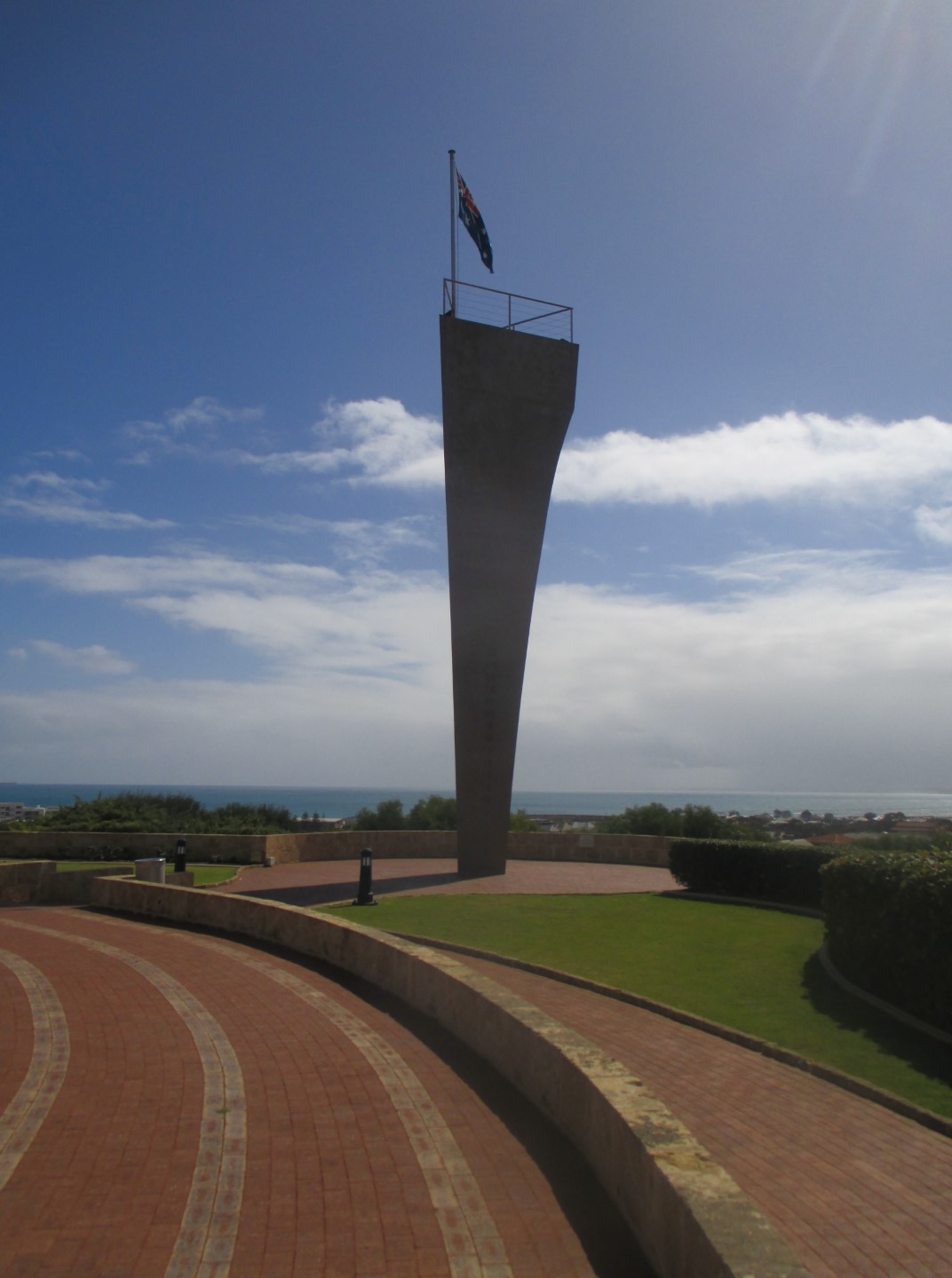
The Stele – based on the historical symbolism of Standing Stones as grave makers, this vertical element in stainless steel, represents the prow of HMAS Sydney II, metaphorically in a single dramatic gesture, while providing a major focal point visible from many miles around. A spectacular component of the memorial, best enjoyed as you look upwards from a close distance. Interestingly, after the wreck was located, it was found that the Sydney sank with its prow actually separated, caused by the explosion of a torpedo.
The Waiting Woman – this sculpture represents the anxious mothers and relatives looking for the return of their sons serving on the HMAS Sydney II. A powerful picture of the bonds of love strained from the uncertainty of their fate, hoping against all odds that they will appear over the horizon. Again a fascinating fact – the sculpture was erected quite some time before the Sydney wreck was located but the sculpture is found to be looking directly towards the wreck location.
The Pool Of Remembrance, the fifth and final element, was added following the discovery of the wreck. The final concept is a simple, recessed pool, approached by circular terracing symbolically descending ‘down’ into the depths, as it were, evocative of the war grave where the ship now silently rests on the sea floor, 120 nautical miles off Steep Point. The floor of the pool is a map, 5 meters across, showing the location of HMAS Sydney II, embedded in coloured granite. A 2 meter high Stainless Steel gull is fixed to the exact spot where the Sydney lies, with the co-ordinates radiating out from this, both on the exact bearing towards the wreck site. 26 14 45 S – 111 12 55 E. A circular waterfall pouring out from under the bottom terrace dramatically reinforces the concept of ‘going down into the depths’ Inspired by the shadow pattern of the gulls under the Dome of Souls, the lowest step is formed in polished black granite into which is engraved images of 644 Silver Gull shadows, circling the pool and the ship. The 2 meter high vertical Silver Gull is Number 645.