Now starts the long trek home. We head away from the madding crowds. First stop is a lovely bush camp on the Murray River, at Berri. We stay for 3 nights to see in the New Year. Our first game of golf since Kalgoorlie is at the nearby Renmark golf course.
Month: December 2014
Christmas At Stansbury
Stansbury is a small town (pop 543) located in the southern Yorke Peninsula of South Australia. It faces the Gulf St Vincent across Oyster Bay, where shellfish were originally harvested in the 19th century. The town has also been a port used in the export of wheat and barley to Adelaide. It is a great place to harvest some of our favourite seafood, namely squid, whiting, razor fish and blue swimmer crabs. All of the above were consumed on Christmas Day.
We are joined in Stansbury by another couple from Pelican Waters, Jeff and Faye Chapple. The day was most enjoyable spent browsing on fresh seafood all day and sipping various types of cooling beverages.
The Week Before Xmas
Our next week is spent travelling to Stansbury on the Yorke Peninsula, our base for Christmas. We stop at some of our favourite and typically quaint small fishing villages on the way, including Arno Bay, Port Germein, Port Hughes and Port Victoria. Most of these villages have their own jetty allowing the hunt for squid, whiting, herring and blue swimmer crabs to continue. There are also many examples of the attractive local architecture, especially the many stone buildings.
Port Germein is the home of the longest wooden jetty in the Southern Hemisphere, at 1.5 kilometres. Whilst the best Cornish Pasties can be fount at Moonta / Port Hughes, due to the history of Cornish tin miners who came to the area in the 1800’s.
Occasionally, the crab net turns up with a surprise – take a look at what turned up in ours, below. Turns out they are fiddler rays.
Bad Weather and Bad Luck
Port Lincoln is well known for its windy weather and it certainly lives up to its name. After 2 days of gale force winds we decide to head north for some shelter so Arno Bay is the target, half way up the east coast of the Eyre Peninsula. Just as we were packing up a groan from Siobhan got my attention as she sees a flat tyre on the caravan, our second this trip. So the spare is fitted and we head to Beaurepaire in town and get the bad news that the tyre was not reapairable. So, 4 new tyres later …
We arrive in Arno Bay and find a free camp in the pub carpark !
Back In South Australia
Heading down the Eyre Peninsula towards Port Lincoln, we take in the towns of Smoky Bay, Streaky Bay and also a couple of nights free camping. For us, South Australia has great memories of blue swimmer crabs, razor fish, whiting and squid. Most of the small towns on the coast have their own jetties which offer fun fishing opportunities. We stay in Port Lincoln for a few days and also celebrate our eighth wedding anniversary.
As an aside, heading into Port Lincoln we complete our circumnavigation of Australia (more of that later).
Western Australia Summary
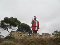
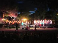
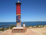
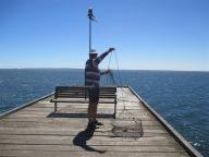
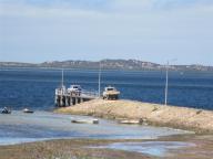
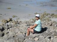
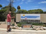
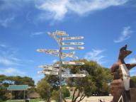
Since this was our first visit to Western Australia we thought we would just focus a moment on some amazing facts and figures.
The United Kingdom is 244,820 square kilometres, Western Australia (just one of the 8 states and territories of Australia) is 2,529,875 square kilometres. The UK would fit into WA just over 10 times and it is bigger than Texas, California, Montana, New Mexico, Arizona and Nevada all added together.
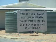
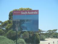
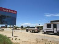
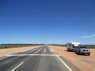
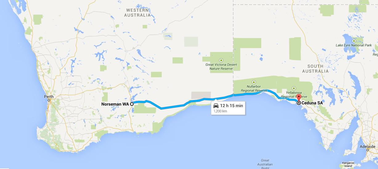
Between entering WA from the Northern Territory on June 16 and exiting on December 2, we drove 18,246 kilometres. Just for comparison, the distance between Sydney and Dublin is 17,204 kilometres.
If Western Australia was a country, it would be the 10th largest by size in the world.
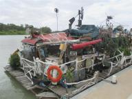
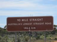
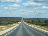
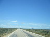
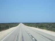
WA contains the world’s straightest railway line and one of the world’s longest roads (see previous blog).
Whilst in WA, we were physically nearer to the South Pole than to our home in Pelican Waters.
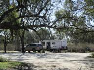
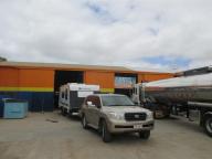
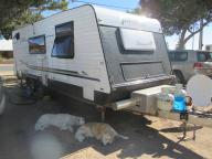
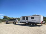
In WA, we had our first ever puncture on the car (in over 180,000 Kms) and also the first puncture on the caravan (in 58,000 Kms).
Cheapest diesel $1.45 per litre, most expensive, $1.84 per litre.
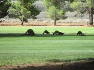
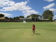
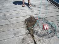
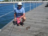
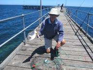
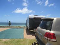
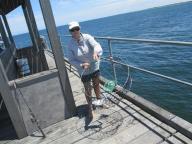
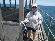
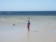
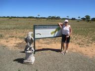
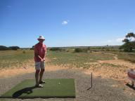
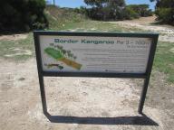
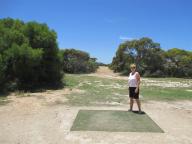
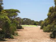
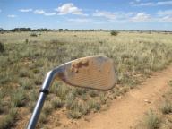
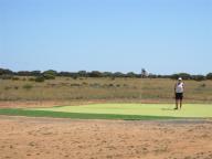
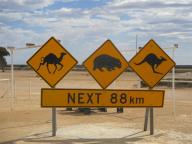
Highlights of WA – first fish species caught : blue salmon, wolf herring, chinaman, coral trout, WA snapper – free / bush camping for 38 % of trip through the state – played 16 different golf courses.
The WA / SA Border
Half way across the Nullarbor, we reach the Western Australia / South Australia border. Looking at the photo of the car and caravan at the border, it is unique to note that the time in the caravan is 11:30 am whilst the time in the car is 02:00 pm !!
The Nullarbor Golf Course
The Nullarbor Links Golf Course is an 18-hole par 72 golf course which spans 1,365 Kms with one hole in each participating town or roadhouse along the Eyre Highway, from Kalgoorlie in Western Australia to Ceduna in South Australia. Each hole includes a green and tee and somewhat rugged outback-style natural terrain fairway. The course provides a quintessential Australian experience and a much-needed activity/attraction for travellers along the renowned desolate highway. Modesty prevents us publishing our scores for this course.
The Nullarbor
The Nullarbor Plain is part of the area of flat, almost treeless, arid or semi-arid country of southern Australia, located on the Great Australian Bight coast with the Great Victoria Desert to its north. It is the world’s largest single exposure of limestone bedrock, and occupies an area of about 200,000 square kilometres (77,000 sq mi). At its widest point, it stretches about 1,100 Kms (684 mi) from east to west across the border between South Australia and Western Australia.
The railway line that crosses the Plain has the longest straight section of railway in the world (478 km, 297 mi), while the road contains the longest straight section of tarred road in Australia (146.6 km, 91.1 mi).
The distance across the Plain from Norseman in Western Australia to Ceduna in South Australia is 1,200 Kms and we take 4 days to make it across. We pass several sections of the road which have a dual purpose by acting as emergency airstrips for the Royal Flying Doctor Service.
Our in-car GPS didn’t speak to us for 3 days. Then we realised that she had told us to turn right after 729 Kms yesterday !!
Hail – No Way
Yes way. We were in Kalgoorlie doing some final shopping when a storm came through. Just very heavy rain in town but when we returned to the caravan we found that there had been a very localised hail storm – most of it landing on our poor awning. Looks like a new awning when we get home.