More Broome

Last few days for Mairead in Broome before she heads back home to Ireland. Great having you with us for the last 2,609 Kilometres . Safe trip home and Bebo (local aboriginal word for ‘until the next time’). Sampled the golf club in Broome – lovely course next to the ocean, very green despite the heat.

Broome

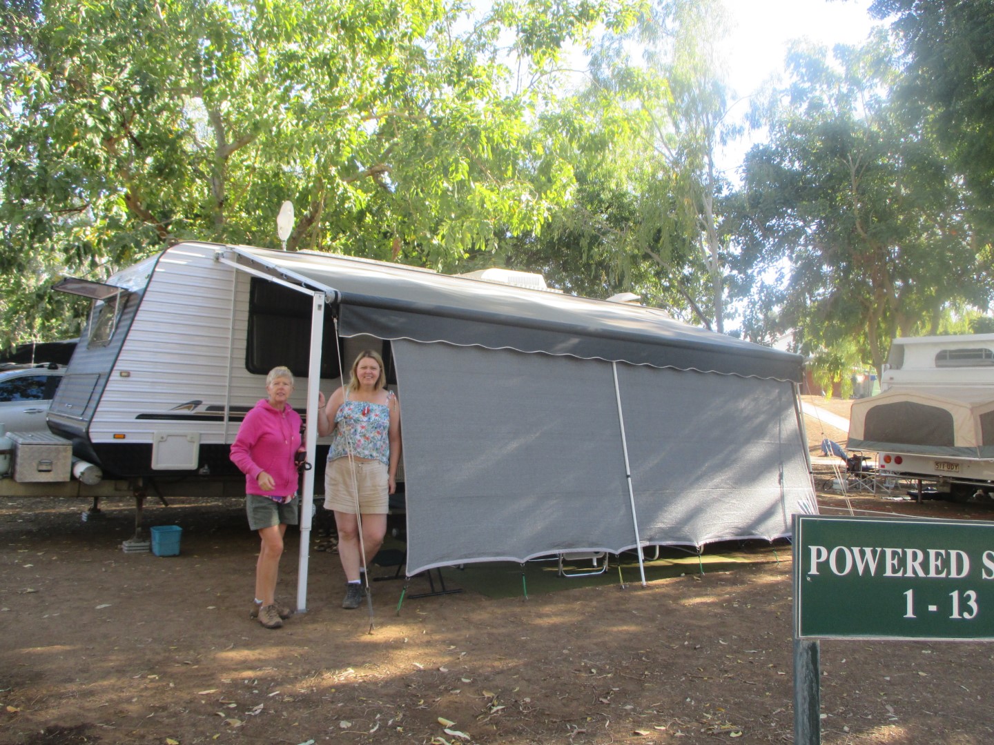
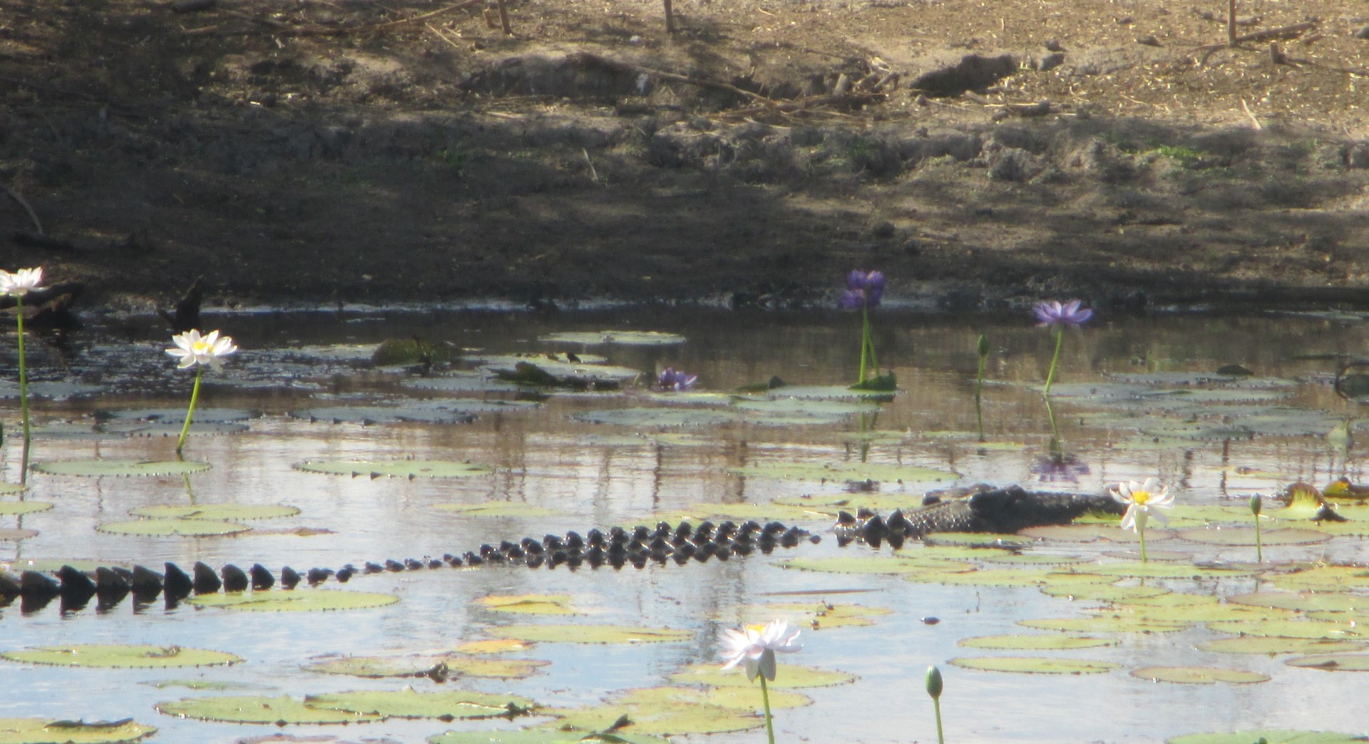
Broome is a pearling and tourist town 2,200 km (1,400 mi) north of Perth. The permanent population is estimated at 14,436, growing to over 45,000 per month during the tourist season.

The town has an interesting history based around the exploits of the men and women who developed the pearling industry, starting with the harvesting of oysters for mother of pearl in the 1880’s to the current major cultured pearl farming enterprises. The riches from the pearl beds did not come cheaply, and the town’s Japanese cemetery is the resting place of 919 Japanese divers who lost their lives working in the industry. Many more were lost at sea, and the exact number of deaths is unknown.

Broome was attacked at least four times by Japanese aircraft during the Second World War, and the worst attack was the 3 March 1942 air raid in which at least 88 people (mostly civilians) were killed.

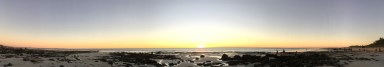
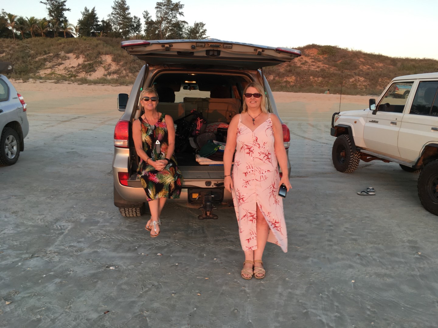
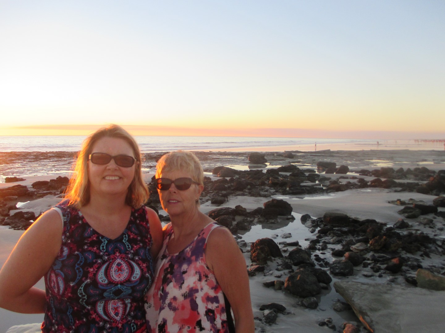
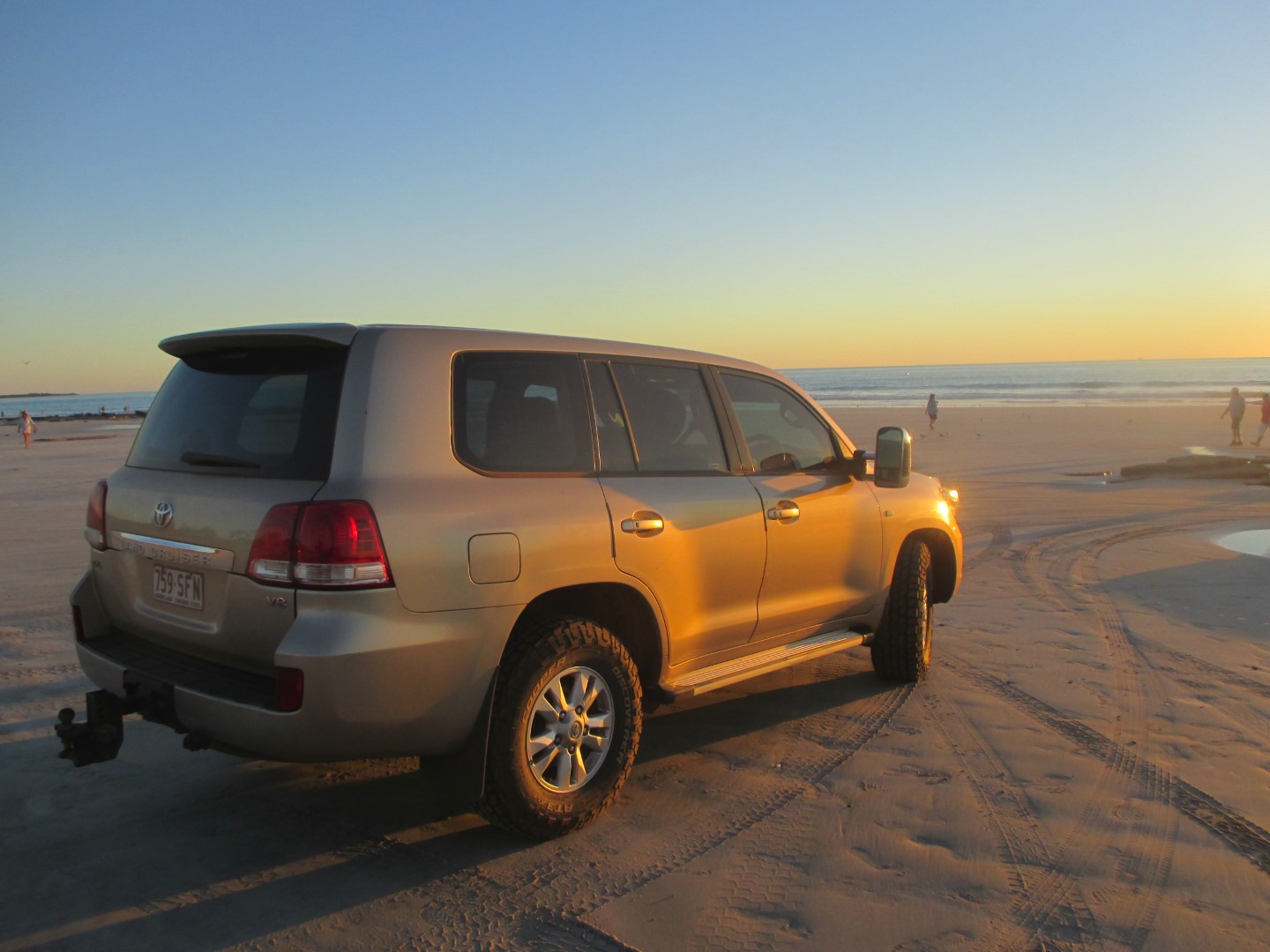
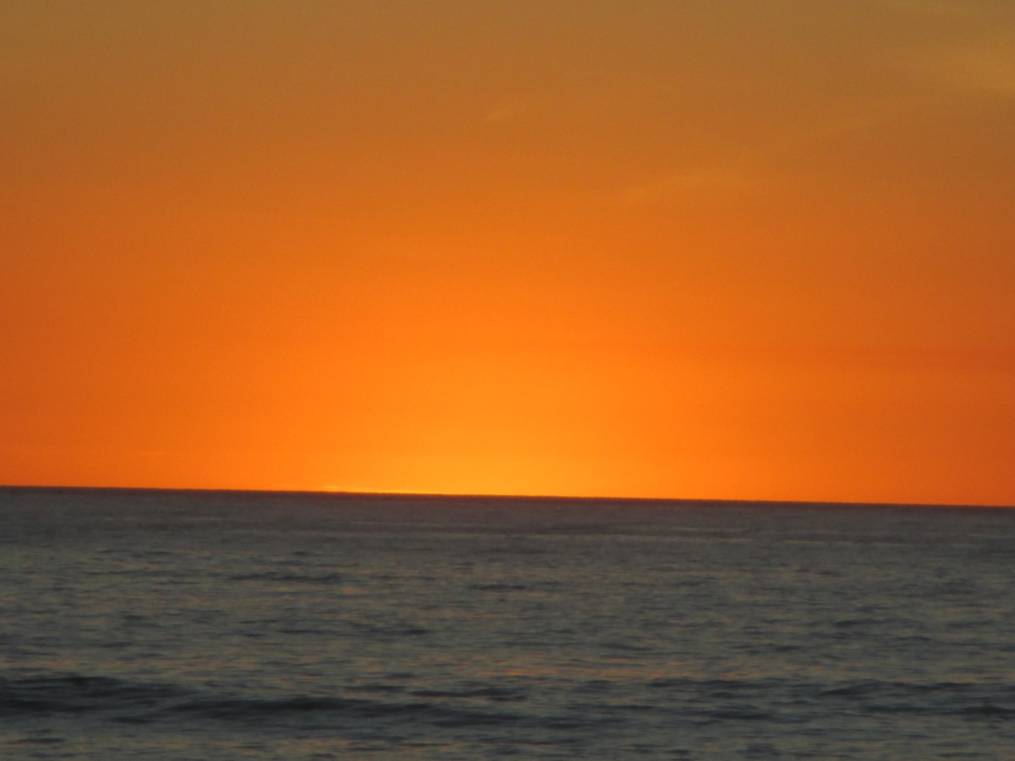
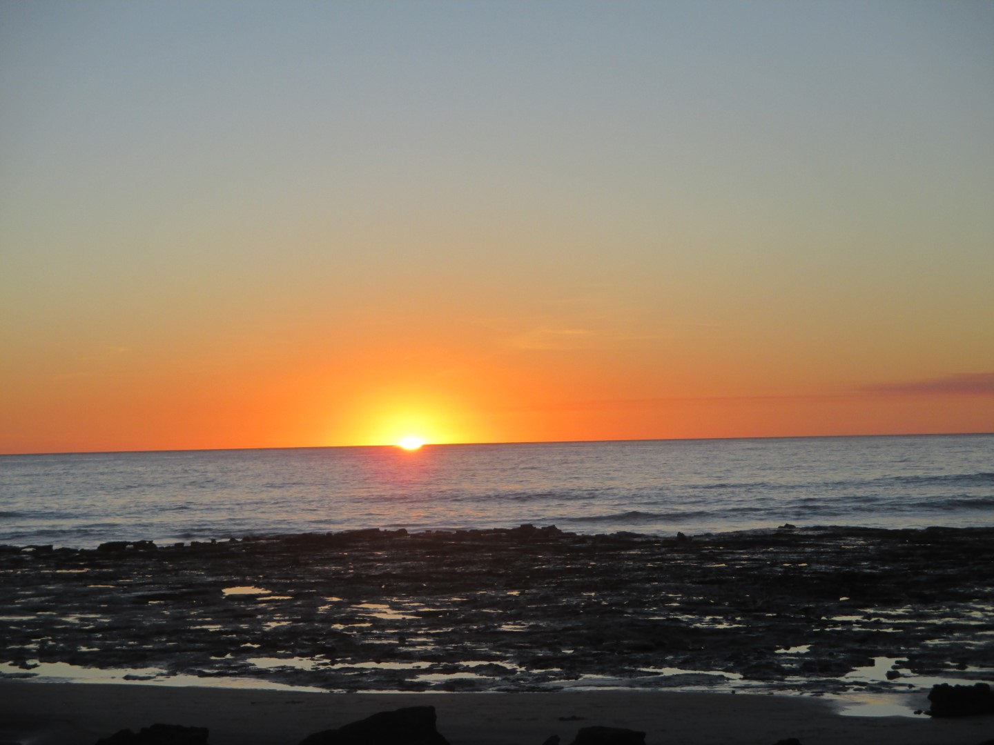
In 1889 a telegraph undersea cable was laid from Broome to Singapore, connecting to England. Hence the name Cable Beach was given to the landfall site. It is situated 7 km (4.3 mi) from town along a bitumen road. The beach itself is 22.5 km (14.0 mi) long with white sand, washed by tides that can reach over 9 m (30 ft). Four wheel drive vehicles may be driven onto the beach from the car park. This allows people to explore the beach at low tide to a much greater extent than would be possible on foot. Sunset camel rides operate daily along the beach.

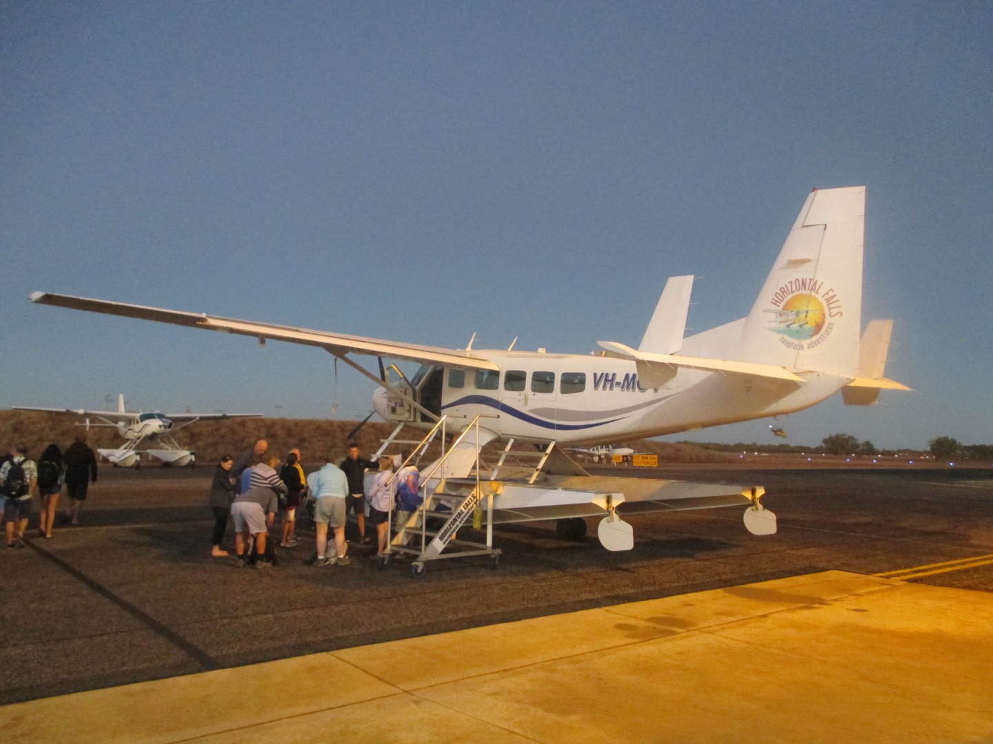
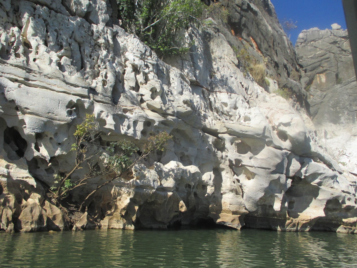
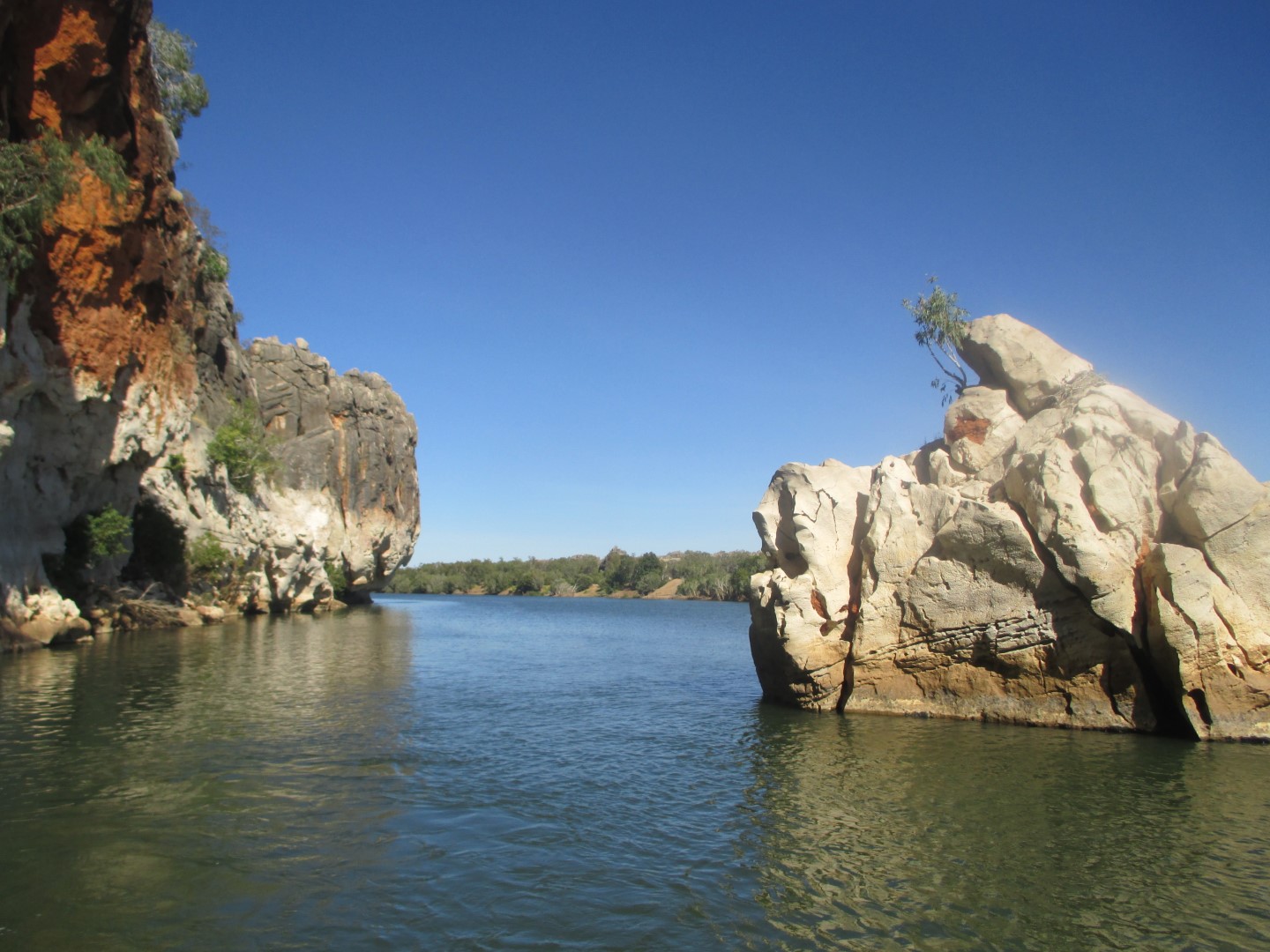
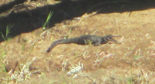
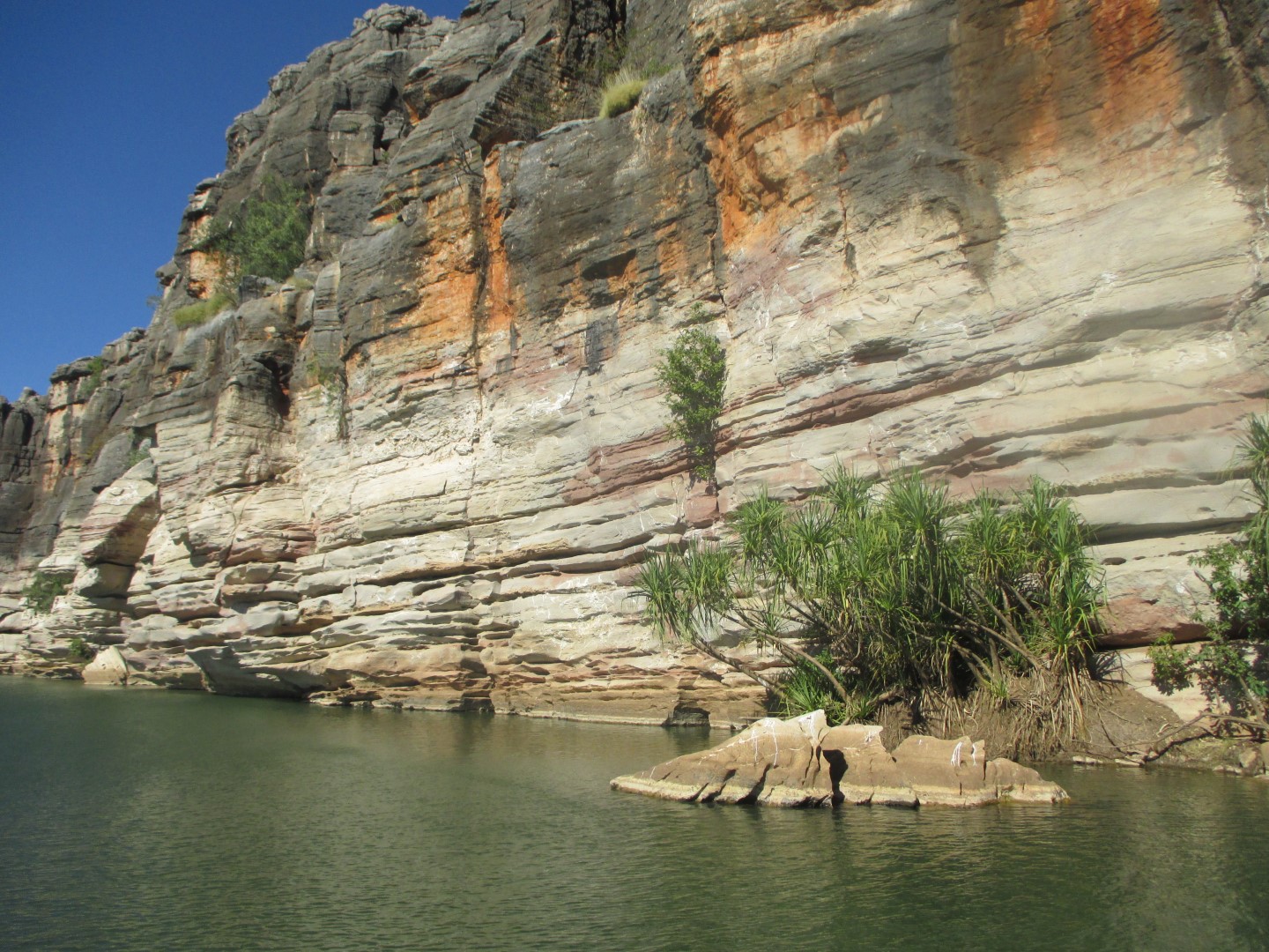
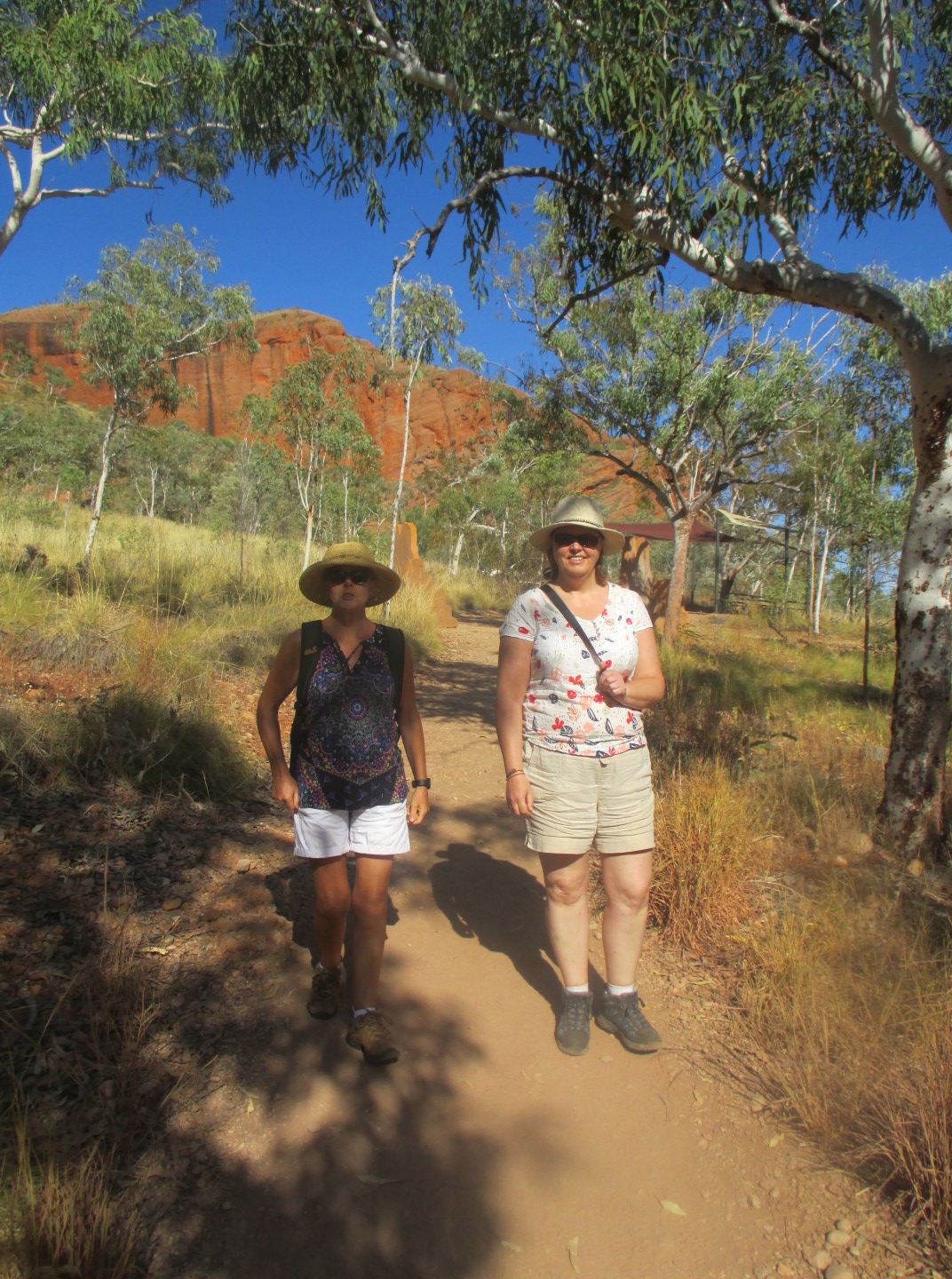
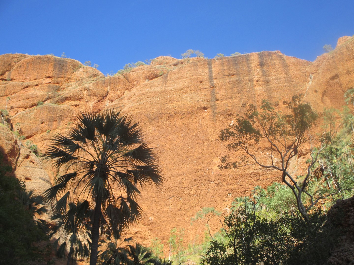
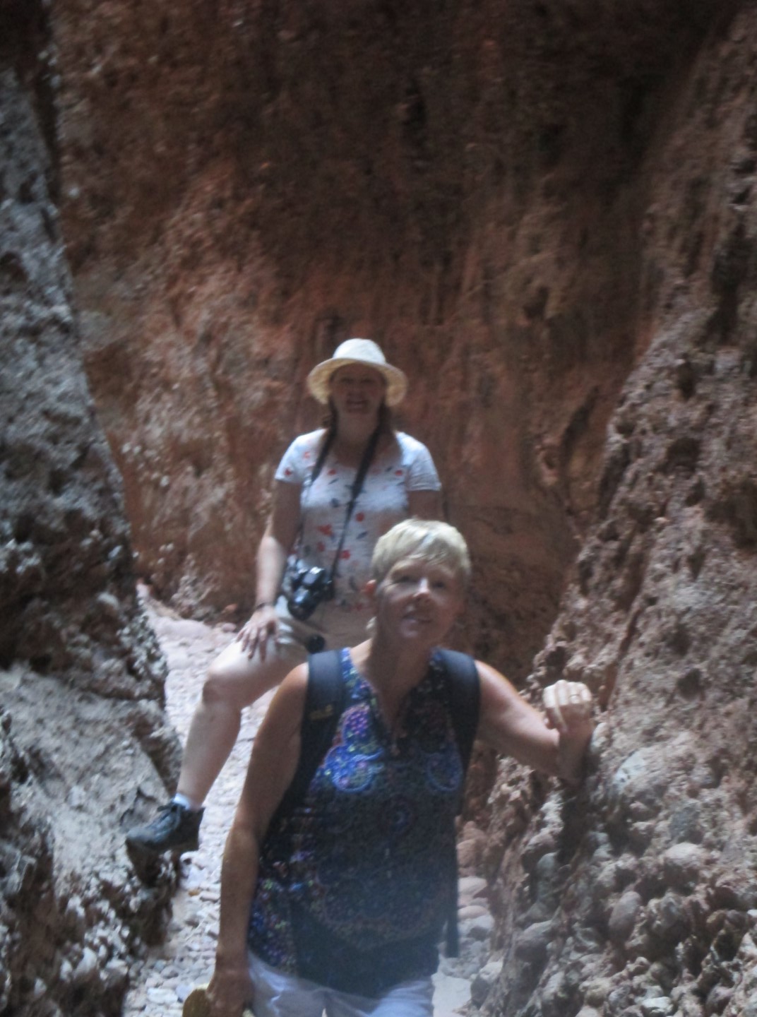
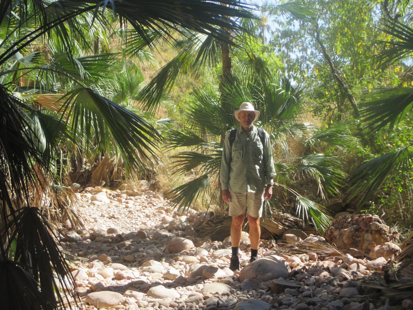
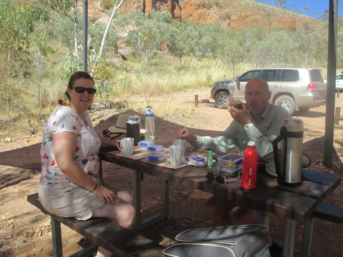
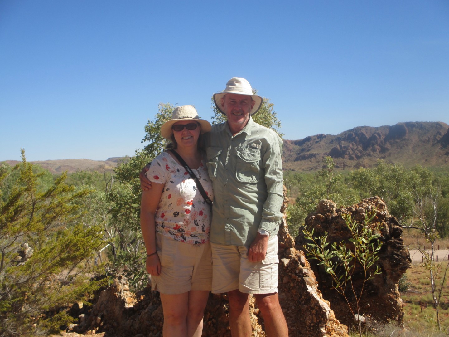
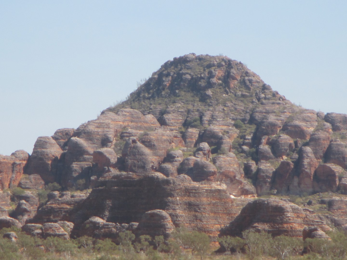
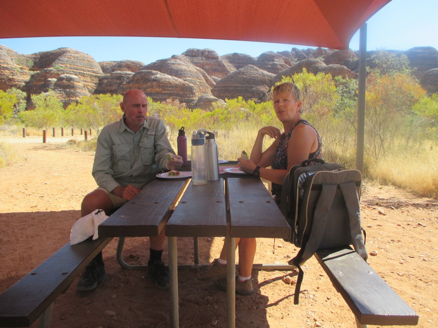
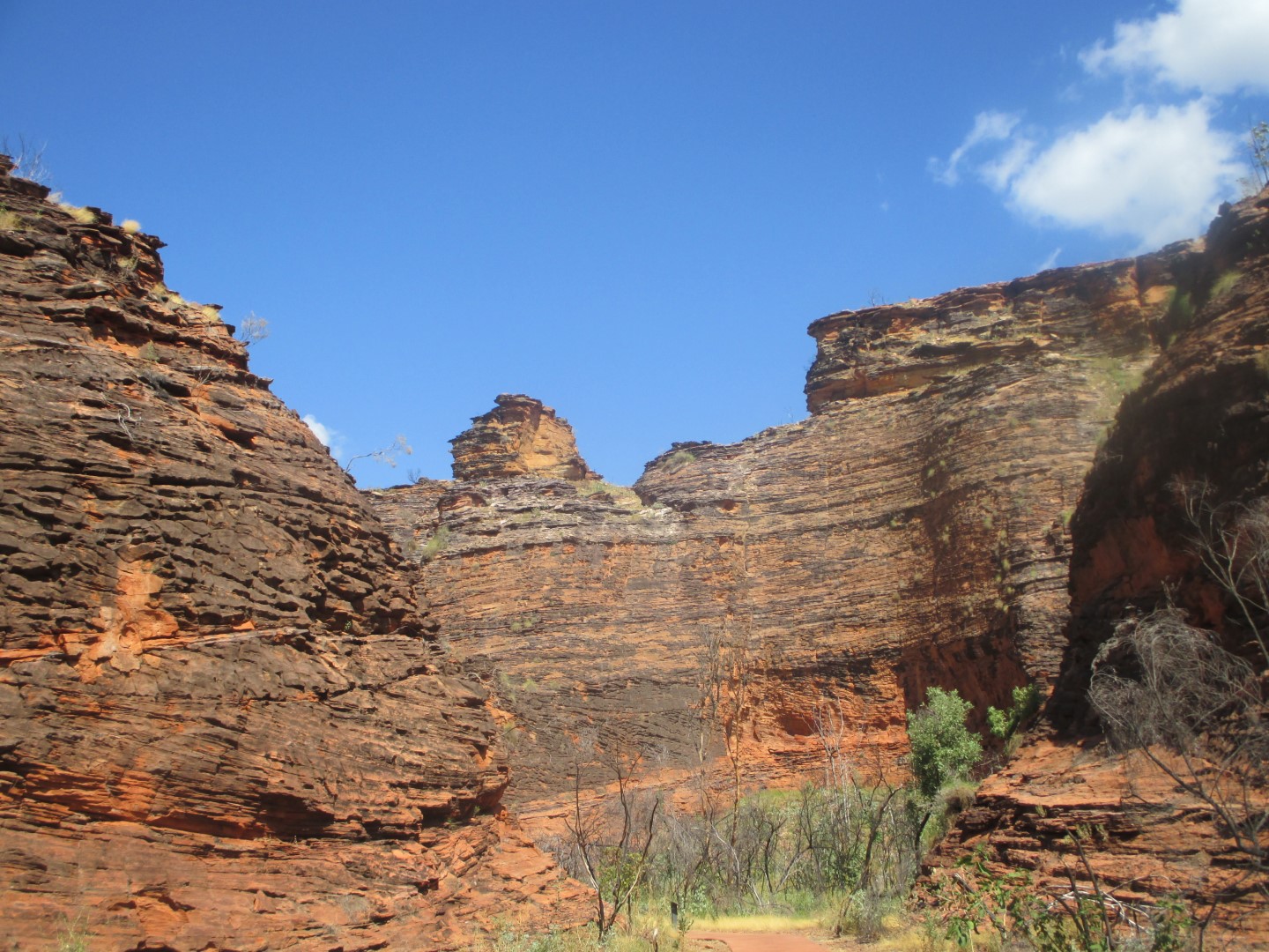
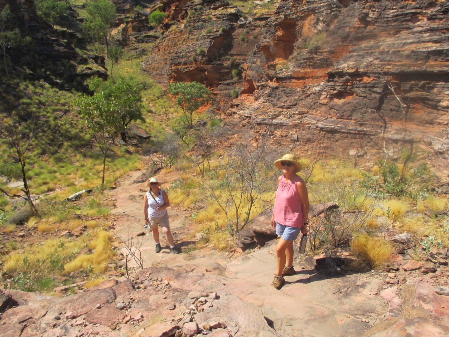
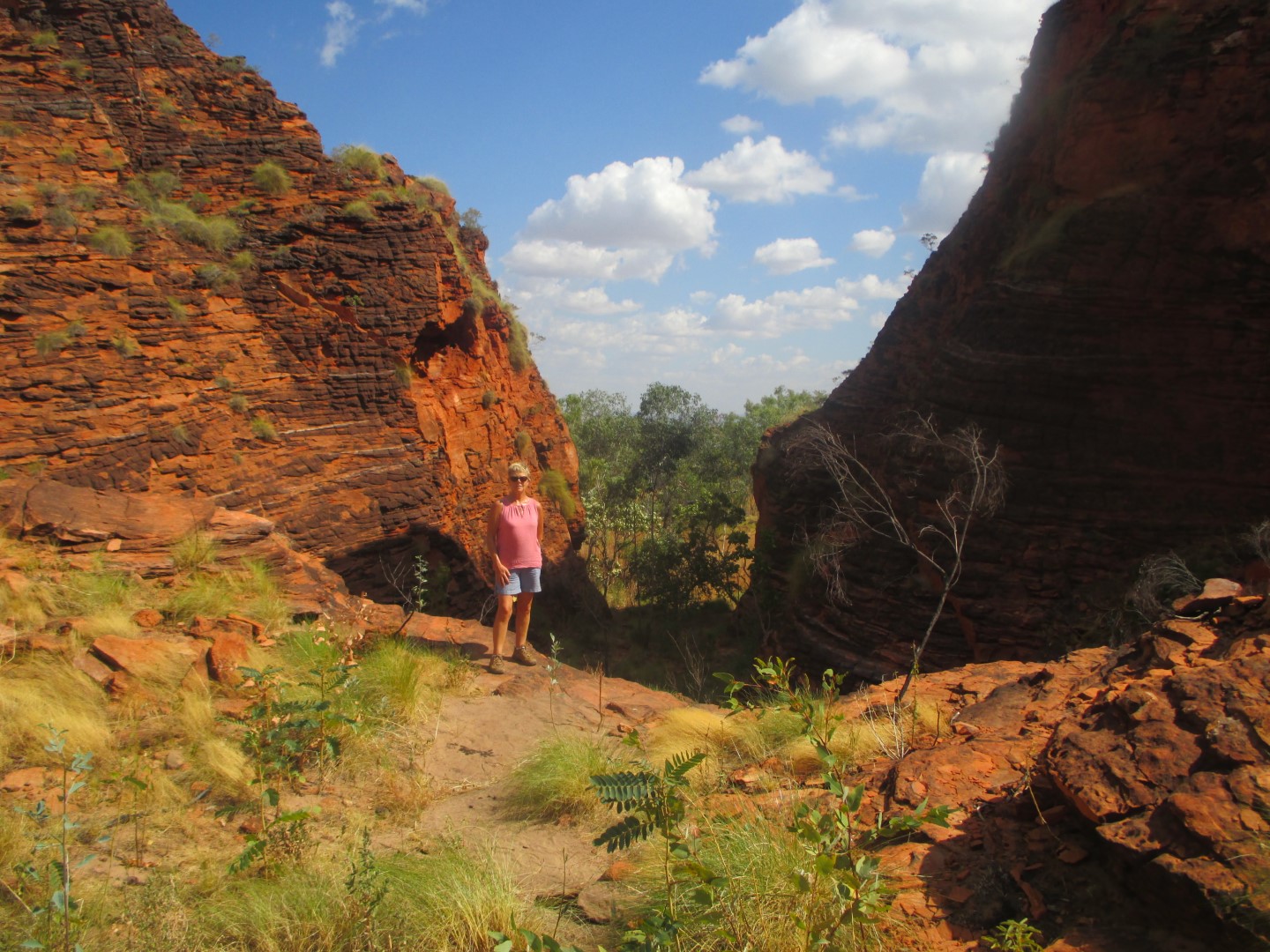
Mairead takes a day trip out to the Horizontal Waterfalls and to Cape Leveque.

Fitzroy Crossing And Geike Gorge

2 nights at Fitzroy Crossing gives us the chance to take a boat trip along the stunning Geikie Gorge, in its own National Park. The gorge was named in honour of Sir Archibald Geikie, the Director General of Geological Survey for Great Britain and Ireland when it was given its European name in 1883. Sir Archibald never visited the gorge and in due course the traditional owners, the Bunuba people, hope that it will be more generally known by its Aboriginal name, Darngku.

The gorge has been formed by the Fitzroy River and the level of the river in the wet season can rise by up to 16.5 metres (54 ft). The flood level can be clearly seen on the walls where the abrasive action of the floodwaters on the limestone has scoured the surface white. The limestone was originally a reef formed not by corals but by algae and lime secreting organisms that are now extinct. The river water sustains an abundance of life including barramundi, sawfish and freshwater crocodiles all of which can be found in the gorge.

The Bungle Bungles

The Bungle Bungles Range is one of the highlights of the trip so far. It has presented a problem – how to refrain from adding 350 photographs to the blog !! It was a challenging drive into the Range involving over 250 Kms of rough tracks with many creek and river crossings. But it was more than worth it.

The Bungle Bungle Range is the landform that is the major component of the Purnululu National Park in Western Australia.

The distinctive beehive-shaped towers are made up of sandstones and conglomerates (rocks composed mainly of pebbles and boulders and cemented together by finer material). These sedimentary formations were deposited into the Ord Basin 375 to 350 million years ago, when active faults were altering the landscape. The combined effects of wind from the Tanami Desert and rainfall over millions of years shaped the domes. Weathering also helped create this marvel. Water seeps into the rock, and at night it expands as it gets colder. This creates small cracks which eventually wears out the rocks.

Mirima National Park

Last day in Kununurra and its off to the Mirima National Park or Hidden Valley as it is known locally. Unusual sandstone formations dominate the park and are often compared to the Bungle Bungles. The area is of great significance to the local indigenous peoples, the Miriuwung, and several examples of rock art can be found within the park.

Wyndham

First stop today on the way to Wyndham is The Grotto, one of many small canyons located close to Kununurra. There is a small natural water hole but swimming is only recommended in the wet season when the water is flowing. Great place to soak up the natural beauty of the Kimberley wilderness and what is a small, natural amphitheater.

Next on to Wyndham and the Five Rivers Lookout. You are standing on top of the world, trying to absorb an impossibly enormous vista. Spread out beneath you are vast mud flats, cut through the middle by a river so wide that you wonder if it’s a bay. At about 325 metres high, the lookout sits atop The Bastion, part of an ancient mountain range, weathered over time to just shadow of its former self. The Ord, King, Pentecost, Forrest and Durack Rivers come together and flow out to sea at Cambridge Gulf. Thousands of hectares of mudflats spread as far as you can see.

The Warriu Park Dreamtime Statues are larger than life aboriginal statues depicting early aboriginal life at Wyndham. The Statues were built as part of a Bi-Centenary project and originally intended for Kings Park in Perth.

Kununurra

We are using Kununurra as a base for a 3 night stay. We will head up to Wyndham for a day. Our camp site is right on the banks of Lake Kununurra. The town was originally developed to service the Ord River Irrigation Scheme which formed Lake argyle. It is the largest town in WA north of Broome.

Western Australia And Lake Argyle

Victoria River was our last overnight stop in the Northern Territory. Now it is on to the west and we cross the border into Western Australia.

Lake Argyle is Western Australia’s largest and Australia’s second largest freshwater man-made reservoir by volume. The reservoir is part of the Ord River Irrigation Scheme and is located near the East Kimberley town of Kununurra. The primary inflow is the Ord River, while the Bow River and many other smaller creeks also flow into the dam.

Not a good place for a swim – spot the fresh water crocodile on the bank next to the dam wall. ‘Freshies’ are supposed to be a lot smaller than their salt water cousins, the ‘Salties’ but this one seems to be bucking that trend.

Beautiful sunset.