Dampier

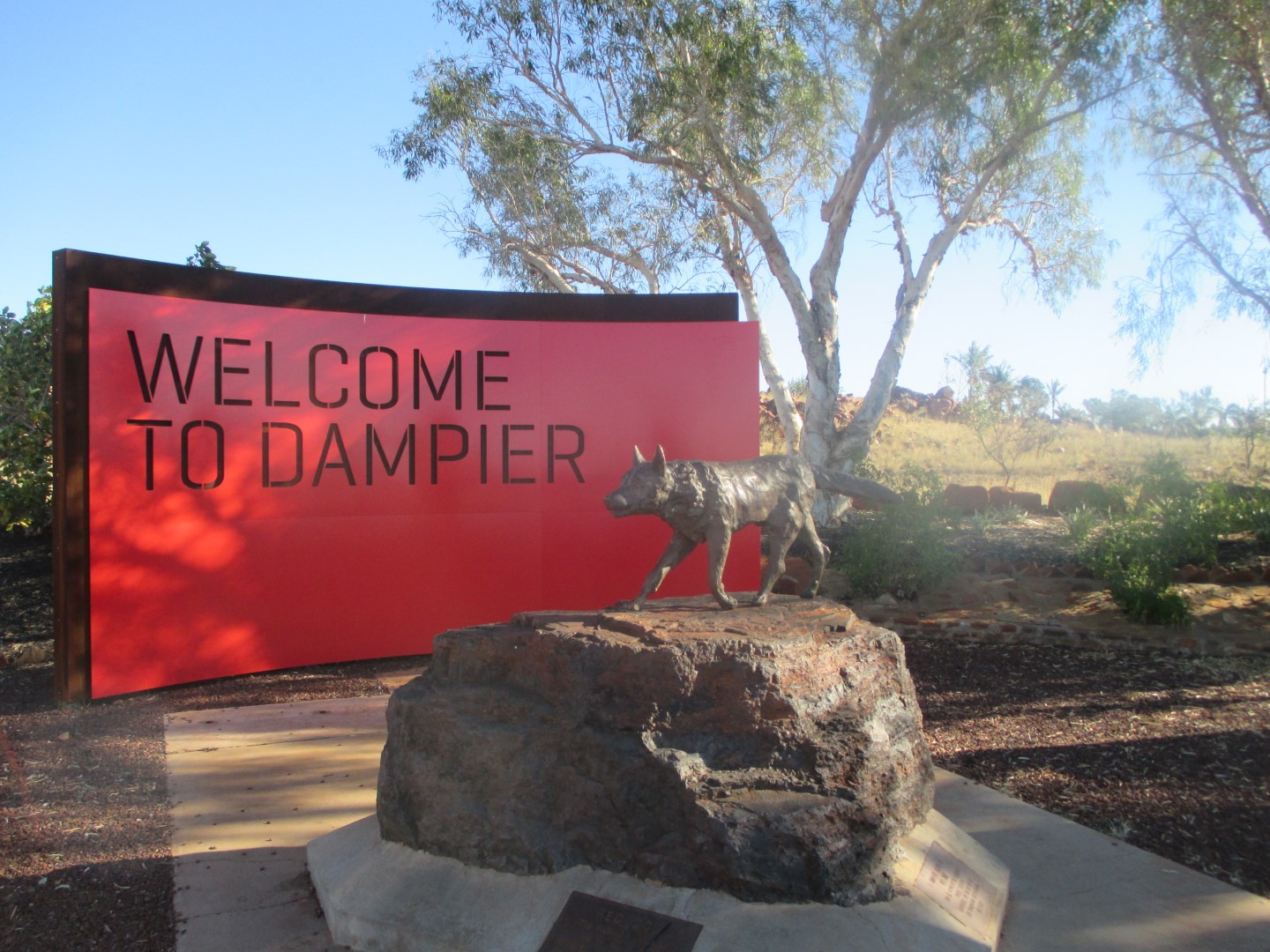
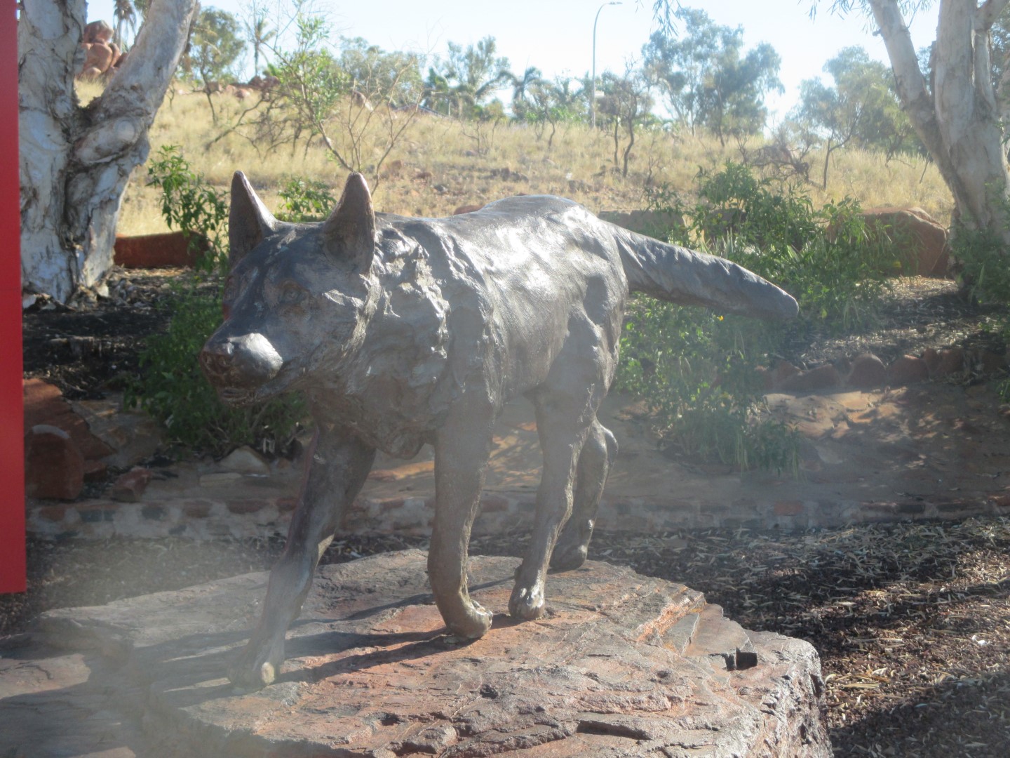
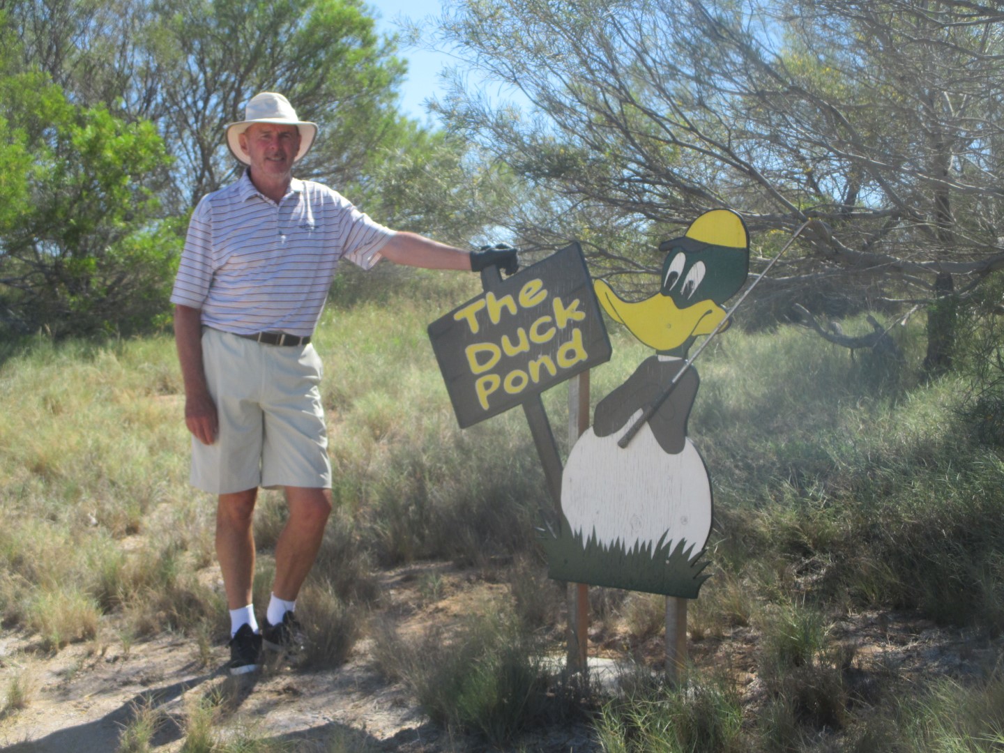
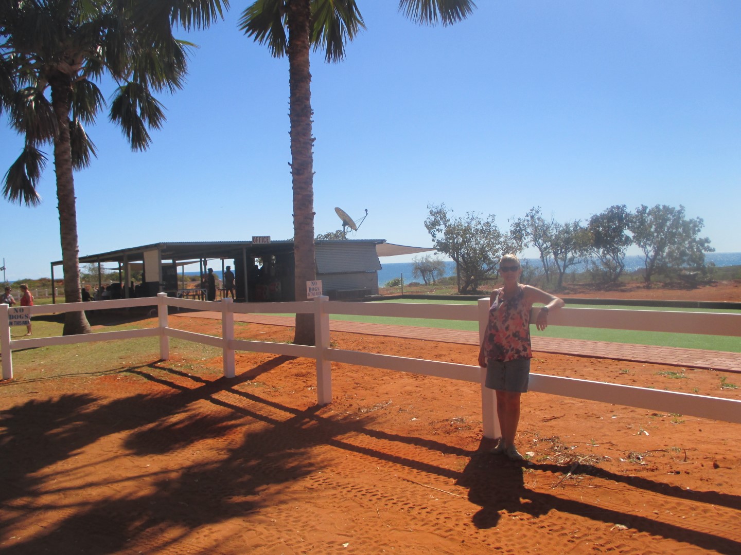
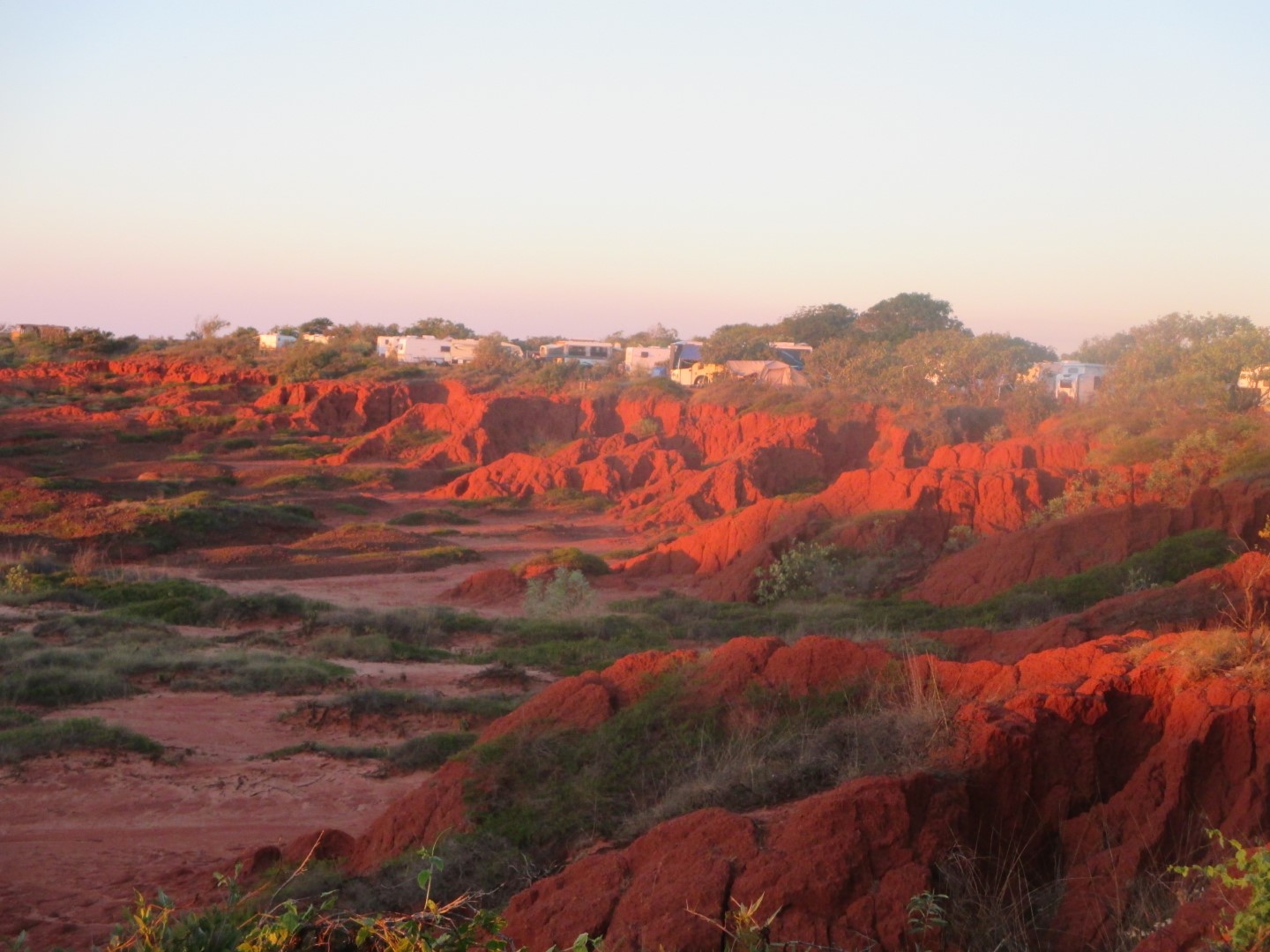
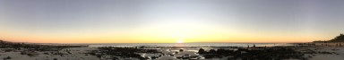
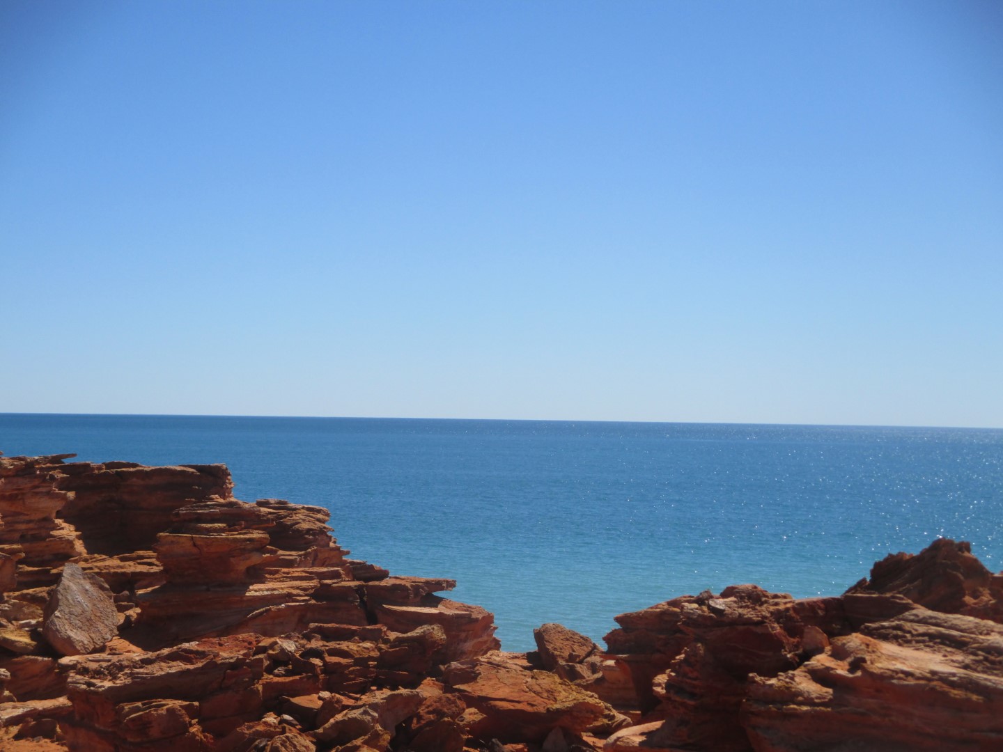
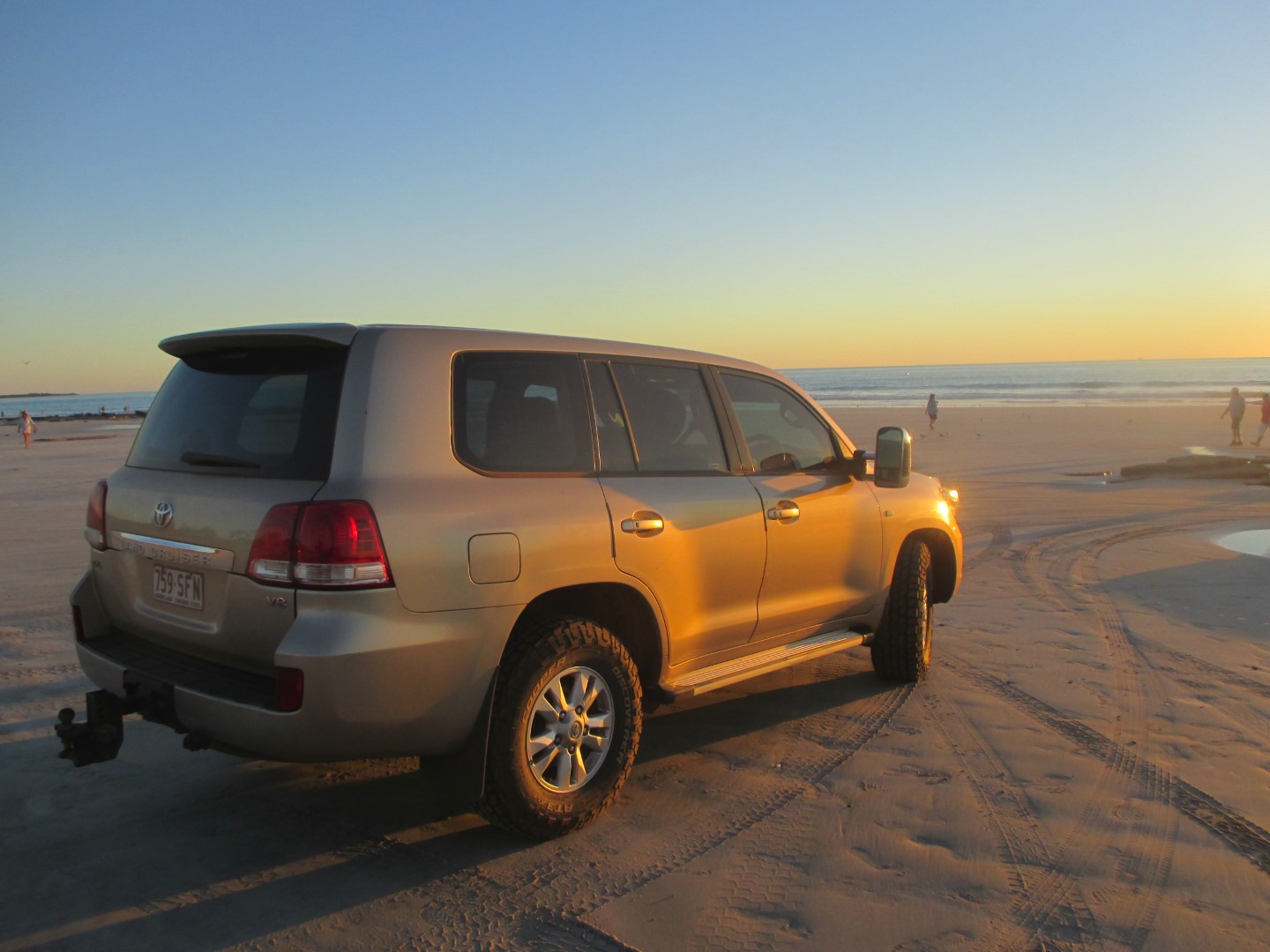
One of Dampier’s main claims to fame is as the home of the famous Red Dog Statue. Red Dog (c. 1971 – 21 November 1979) was a Kelpie/cattle dog cross that was well known for his travels through Western Australia’s Pilbara region, most often visiting Dampier. Red Dog is believed to have been born in the town of Paraburdoo in 1971 and had a variety of names to those who knew him, including: Bluey, Tally Ho, and Dog of the Northwest. Tally Ho was his first name, given to him by a man called Col Cummings, who is believed to have been his first owner and the one who brought him to Dampier. The nickname “Red Dog” has been attributed to the red dirt of the Pilbara Region. His second owner was John Stazzonelli, a bus/truck driver with Hamersley Iron, whose work allowed Red to travel as far as Perth, Broome, Roebourne, Point Samson and Port Hedland.

Following Stazzonelli’s death in 1975, Red spent a lot of time travelling on his own. He was also taken in by many members of the community and a veterinarian who treated him. Red was made a member of the Dampier Salts Sport and Social Club and the Transport Workers’ Union. He was also given a bank account with the Bank of New South Wales, which is said to have used him as a mascot and sales tool with the slogan “If Red banks at the Wales, then you can too.”. Although he had many friends, it is believed that his death in 1979 was caused by deliberate strychnine poisoning. Red is buried in an unmarked grave somewhere in Roebourne, Western Australia.

Karratha

Karratha is a city in the Pilbara region of Western Australia, adjoining the port of Dampier. It was established in 1968 to accommodate the processing and exportation workforce of the Hamersley Ironmining company and, in the 1980s, the petroleum and liquefied natural gas operations of the North West Shelf Venture. The city’s name comes from the cattle station of the same name, which derives from a word in a local Aboriginal language meaning “good country” or “soft earth”.

Karratha serves us as a good base camp to visit the local attractions, including the ‘Staircase To The Moon’, the North West Gas project and Dampier, home to the infamous ‘Red Dog’. (More details on these to follow.)

We had a round of golf at the picturesque Karratha Golf Course with its sand greens – well worth the visit.

Port Hedland

Port Hedland is the second largest town in the Pilbara region of Western Australia. It is also the site of the highest tonnage port in Australia, with its natural deep anchorage harbour which, as well as being the main fuel and container receiving point for the region, was seen as perfect for shipment of the iron ore being mined in the ranges located inland from the town. The ore is moved by railway from four major iron ore deposits to the east and south of the Port Hedland area. The port exported 519,408,000 tonnes of iron ore in 2017/2018.

Other major resource activities supported by the town include the offshore natural gas fields, salt, manganese, and livestock. Grazing of cattle and sheep was formerly a major revenue earner for the region, but this has slowly declined. Port Hedland was also formerly the terminus for the WAGR Marble Bar Railway, which serviced the gold mining area of Marble Bar from July 1911 until closure on 31 October 1951.

Located between Port Hedland and South Hedland are the large salt hills of Dampier Salt, a subsidiary of Rio Tinto. These large mounds have almost become a tourist attraction in their own right.

Cape Keraudren

The Cape Keraudren Coastal Reserve is located on the coast 179 Kms north of Port Hedland. It is a low-key recreational area where disturbance to the environment has been kept to a minimum. It lies on a picturesque white-sand beach that stretches as far as the eye can see. The clear blue water is a spectacular welcome to the start of the famous Eighty Mile Beach.

This place was one of the highlights of our last trip to WA. Whilst still beautiful, it has become more popular and, unfortunately, the weather and the tides were against us this time so no major fishing successes.

80 Mile Beach

A return to this iconic beach which lies along the north-west coast of Western Australia about half-way between the towns of Broome and Port Hedland. It is a beach some 220 Kms (140 mi) in length, forming the coastline where the Great Sandy Desert approaches the Indian Ocean. It is one of the most important sites for migratory shorebirds, or waders, in Australia.

We found a new pastime here – it is called rod holding – the idea is to cast a line in the ocean and see who can hold the rod the longest without having a fish go anywhere near your bait. Most people were excellent at this – my record was 3 hours 42 minutes.

Barn Hill Station

Barn Hill Station is a Kimberley Cattle Station overlooking the Indian Ocean. It is 450,000 acres with 8,00 head of cattle which they live export out of Broome. 128 Kms south of Broome and just a 50 metre walk to the ocean, it is a great place to relax and have a fish on the beach. So we chill out for a couple of days. No fish to speak of but still good fun. Joined 200 other campers for a Sunday Roast and entertainment on Sunday evening.

Interesting loos and showers at Barn Hill. Open air loos and shower water heated by big loops of black pipes circled on the ground – cold showers first thing in the morning.

More Broome

Last few days for Mairead in Broome before she heads back home to Ireland. Great having you with us for the last 2,609 Kilometres . Safe trip home and Bebo (local aboriginal word for ‘until the next time’). Sampled the golf club in Broome – lovely course next to the ocean, very green despite the heat.

Broome

Broome is a pearling and tourist town 2,200 km (1,400 mi) north of Perth. The permanent population is estimated at 14,436, growing to over 45,000 per month during the tourist season.

The town has an interesting history based around the exploits of the men and women who developed the pearling industry, starting with the harvesting of oysters for mother of pearl in the 1880’s to the current major cultured pearl farming enterprises. The riches from the pearl beds did not come cheaply, and the town’s Japanese cemetery is the resting place of 919 Japanese divers who lost their lives working in the industry. Many more were lost at sea, and the exact number of deaths is unknown.

Broome was attacked at least four times by Japanese aircraft during the Second World War, and the worst attack was the 3 March 1942 air raid in which at least 88 people (mostly civilians) were killed.

In 1889 a telegraph undersea cable was laid from Broome to Singapore, connecting to England. Hence the name Cable Beach was given to the landfall site. It is situated 7 km (4.3 mi) from town along a bitumen road. The beach itself is 22.5 km (14.0 mi) long with white sand, washed by tides that can reach over 9 m (30 ft). Four wheel drive vehicles may be driven onto the beach from the car park. This allows people to explore the beach at low tide to a much greater extent than would be possible on foot. Sunset camel rides operate daily along the beach.

Mairead takes a day trip out to the Horizontal Waterfalls and to Cape Leveque.